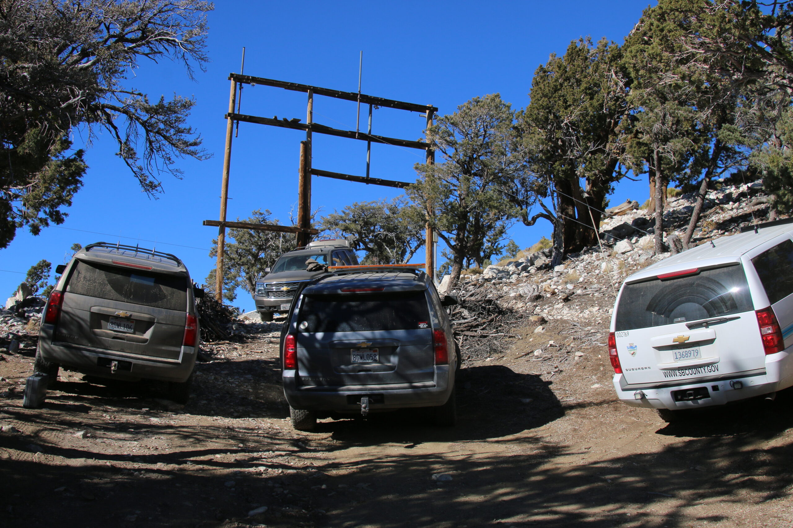
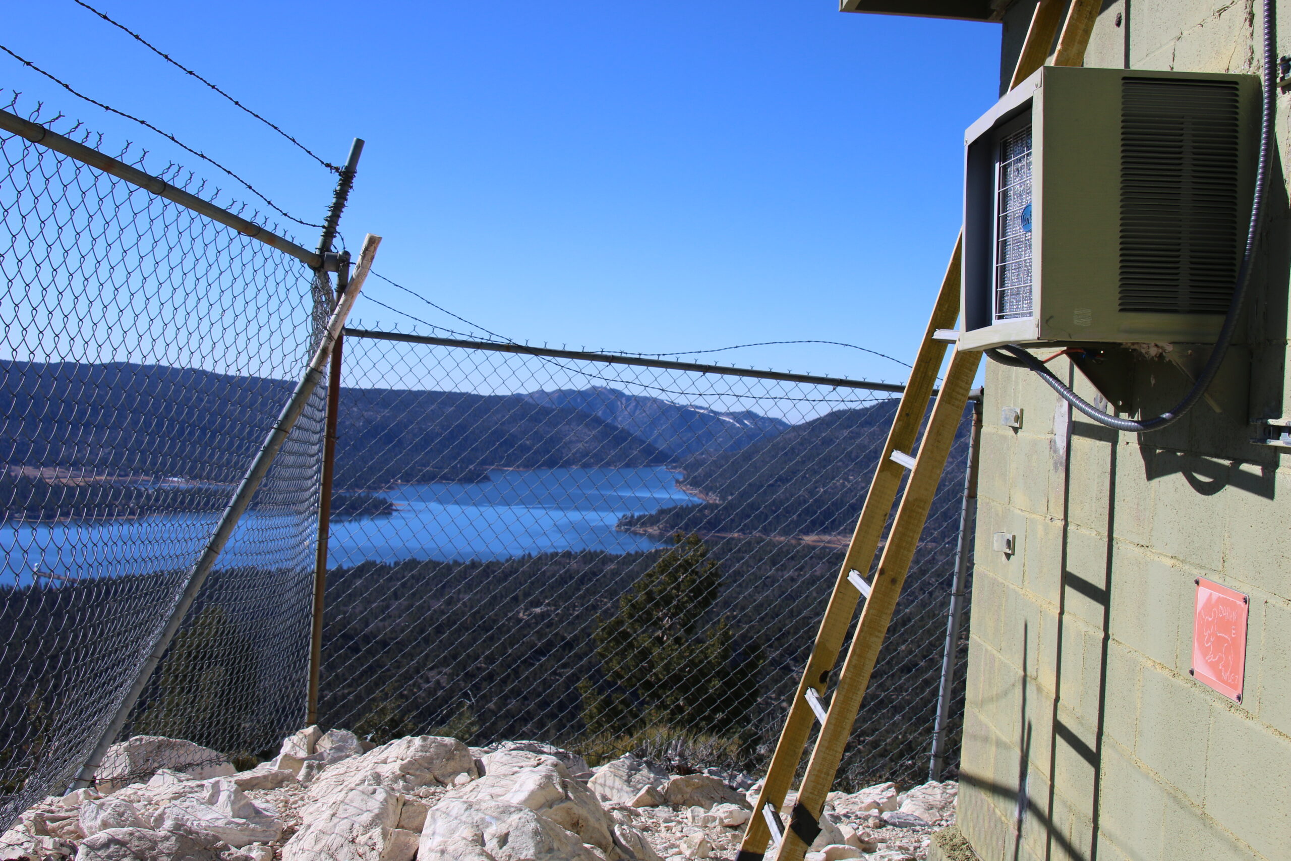
Bertha Peak
| Site Name: | Bertha Peak | 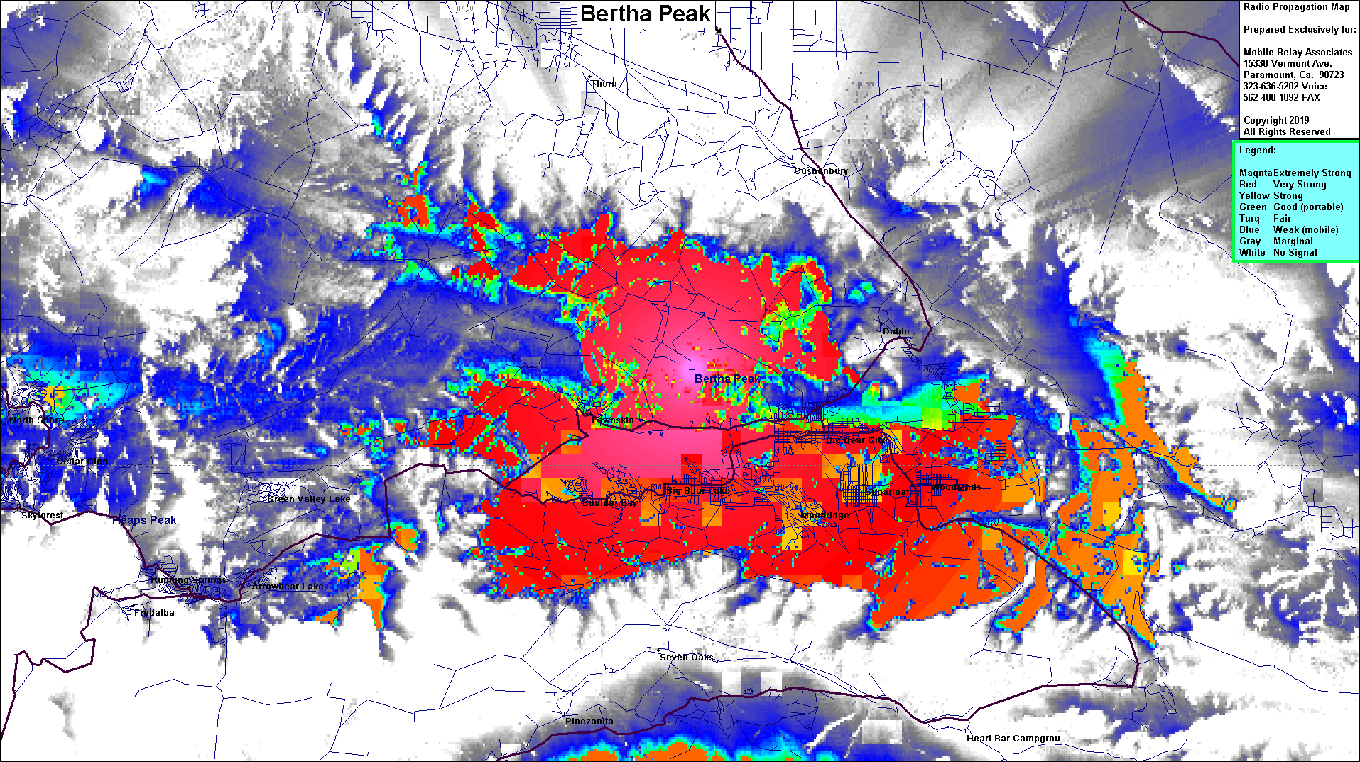 Bertha Peak Coverage |
| Latitude: | 034 16 58.7N | 34.2829722 |
| Longitude: | 116 53 57.6W | -116.8993333 |
| Feet | Meters | |
| Ground Elevation: | 8,216.9 | 2,504.5 |
| HAAT: | 1,840.6 | 561.0 |
| City: | Big Bear | |
| County: | San Bernardino | |
| State: | California |
This is not an MRA Owned Site. For space rental contact the site owner.
Do you own or manage this site? Click Here
Would you like to add a site to the Google Earth Map?? Click Here
Site Coverage: Coverage of Big Bear, Moonridge, Sugarloaf, Woodlands, Boulder Bay, Hwy 38 near Big Bear