Cook Peak
| Site Name: | Cook Peak | 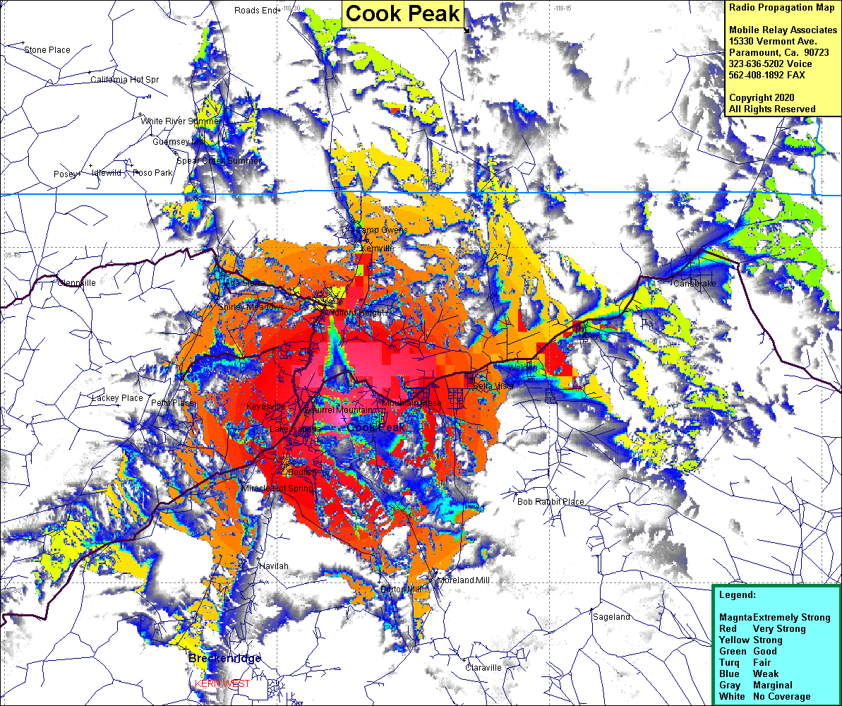 Cook Peak Coverage |
| Latitude: | 035 37 21.3N | 35.6225833 |
| Longitude: | 118 26 20.0W | -118.4388889 |
| Feet | Meters | |
| Ground Elevation: | 5262.5 | 1604.0 |
| HAAT: | 1260.0 | 384.1 |
| City: | Lake Isabella | |
| County: | Kern | |
| State: | California |
This is not an MRA Owned Site. For space rental contact the site owner.
Do you own or manage this site? Click Here
Would you like to add a site to the Google Earth Map?? Click Here
Site Coverage: Coverage of Bella Vista, Mountain Mesa, Squirrel Mtn, Lake Isabella, Bodfish, Keyesville, Miracle Hot Springs, Weldon, Onyx, Shirley Meadows, Wofford Heights, Kernville, Camp Owens
Amateur (ham) frequencies: