East Fork
| Site Name: | East Fork | 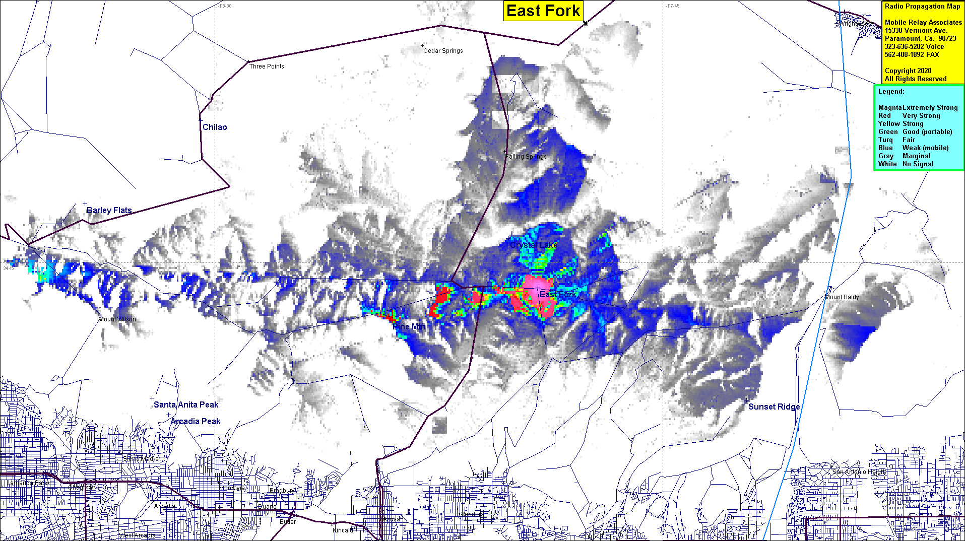 East Fork Coverage |
| Latitude: | 034 14 18.0N | 34.2383333 |
| Longitude: | 117 49 10.6W | -117.8196111 |
| Feet | Meters | |
| Ground Elevation: | 1532.2 | 467.0 |
| HAAT: | -1792.4 | -546.3 |
| City: | Azusa | |
| County: | Los Angeles | |
| State: | California |
This is not an MRA Owned Site. For space rental contact the site owner.
Do you own or manage this site? Click Here
Would you like to add a site to the Google Earth Map?? Click Here
Site Coverage: Coverage of a portion of Glendora Ridge Road
Amateur (ham) frequencies: