Estelle Mtn
| Site Name: | Estelle Mtn | 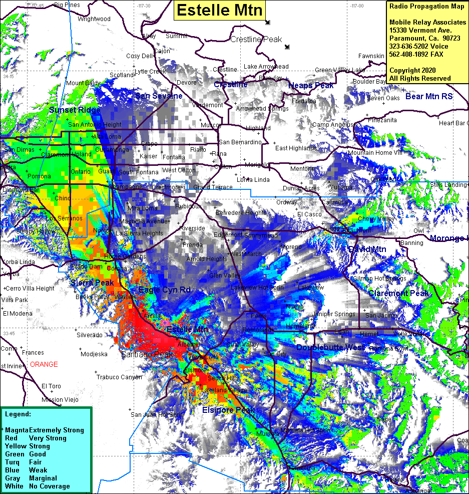 Estelle Mtn Coverage |
| Latitude: | 033 45 34.4N | 33.7595556 |
| Longitude: | 117 25 35.2W | -117.4264444 |
| Feet | Meters | |
| Ground Elevation: | 2471.1 | 753.2 |
| HAAT: | 713.1 | 217.4 |
| City: | Aberhill | |
| County: | Riverside | |
| State: | California |
This is not an MRA Owned Site. For space rental contact the site owner.
Do you own or manage this site? Click Here
Would you like to add a site to the Google Earth Map?? Click Here
Site Coverage: Covearge of Interstate 15 from Temecula to Corona, Norco, Chino, Alberhill, Lakeland Village, Sedco Hills, Murieta, Romoland, Menifee, Homeland, Nuevo, Lakeview, Moreno, Alessandro, Box Springs, Pomona, San Dimas, Guasti, Upland, Alta Loma, San Antonio Heights, Rochester, Alta Loma
Amateur (ham) frequencies: