Fillmore Satellite
| Site Name: | Fillmore Satellite | 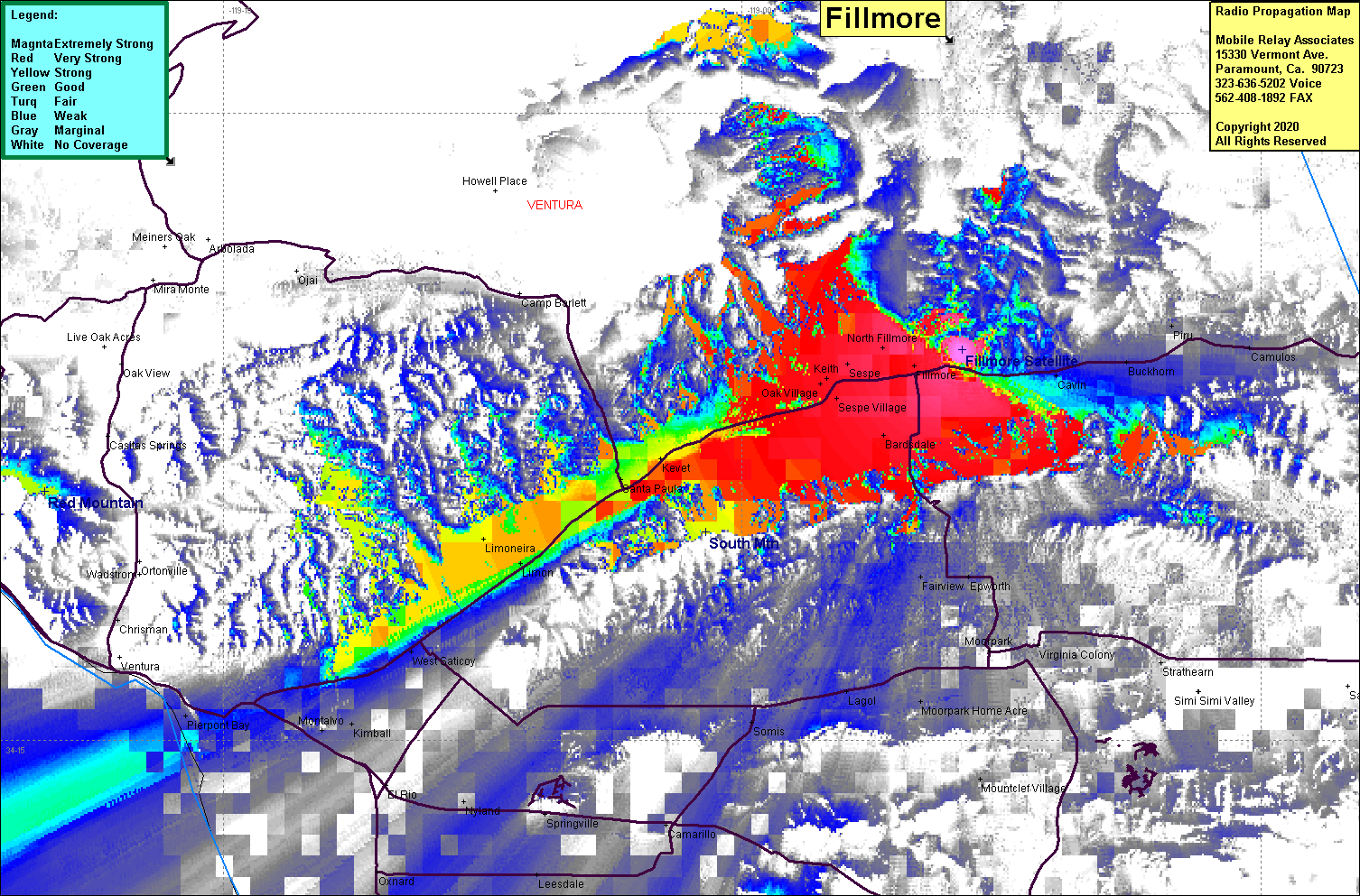 Fillmore Satellite Coverage |
| Latitude: | 034 24 20.7N | 34.4057500 |
| Longitude: | 118 53 38.6W | -118.8940556 |
| Feet | Meters | |
| Ground Elevation: | 1009.8 | 307.8 |
| HAAT: | -504.9 | -153.9 |
| City: | Fillmore | |
| County: | Ventura | |
| State: | California |
This is not an MRA Owned Site. For space rental contact the site owner.
Do you own or manage this site? Click Here
Would you like to add a site to the Google Earth Map?? Click Here
Site Coverage: Coverage of Fillmore, Sespe, Oak Village, Kevet, Santa Paula, Limineira, Limon, Haines, Saticoy, Bardsdale, Sespe Village, Cavin, Buckhorn, Camulos, Fairview, Epworth, Lagol, Somis, Camarillo, Springville, Nyland, West Saticoy, Kimball, Montalvo, Piedmont Bay
Amateur (ham) frequencies: