Government Peak
| Site Name: | Government Peak | 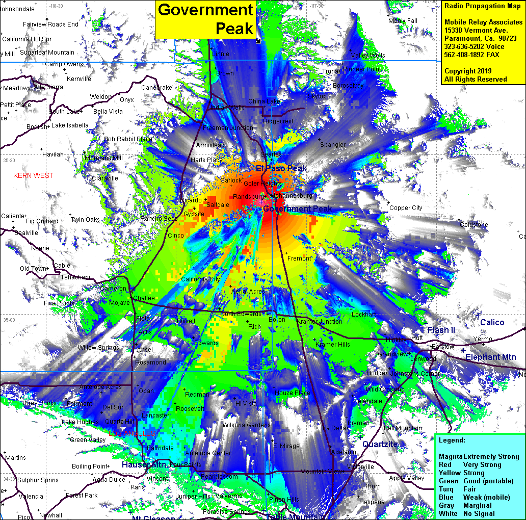 Government Peak Coverage |
| Latitude: | 035 21 06.9N | 35.3519167 |
| Longitude: | 117 40 23.2W | -117.6731111 |
| Feet | Meters | |
| Ground Elevation: | 4,780.8 | 1,457.2 |
| HAAT: | 840.6 | 256.2 |
| City: | Randsburg | |
| County: | Kern | |
| State: | California |
This is not an MRA Owned Site. For space rental contact the site owner.
Do you own or manage this site? Click Here
Would you like to add a site to the Google Earth Map?? Click Here
Site Coverage: Coverage of the Ransburg & Johannesburg areas, Fremont, Garlock, Mojave, Kramer Junction, Roosevelt, Palmdale
Amateur (ham) frequencies: