Hendrix
| Site Name: | Hendrix | 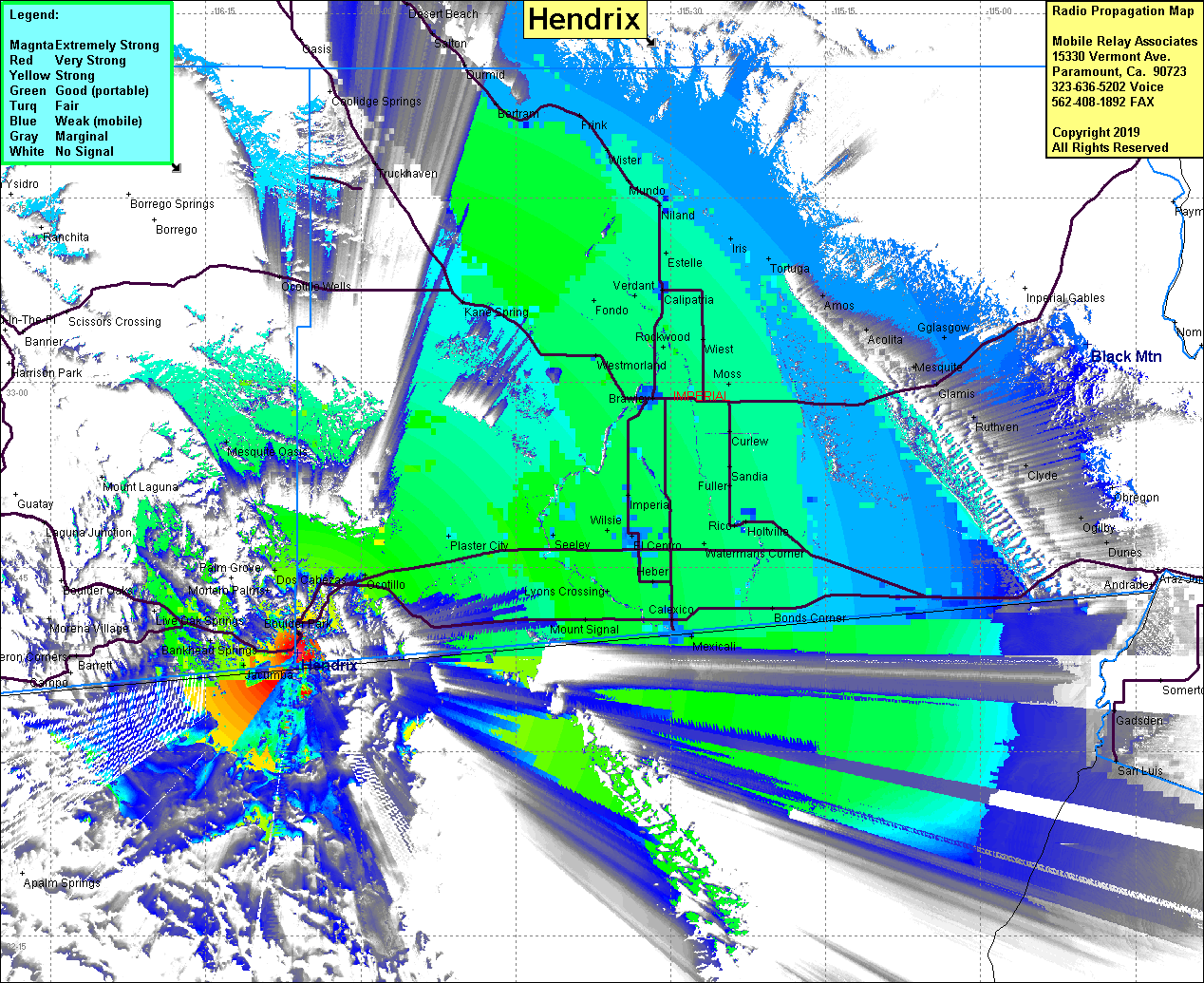 Hendrix Coverage |
| Latitude: | 032 37 59.2N | 32.6331111 |
| Longitude: | 116 06 06.1W | -116.1016944 |
| Feet | Meters | |
| Ground Elevation: | 4116.0 | 1254.6 |
| HAAT: | 1550.8 | 472.7 |
| City: | Jacumba | |
| County: | San Diego | |
| State: | California |
This is not an MRA Owned Site. For space rental contact the site owner.
Do you own or manage this site? Click Here
Would you like to add a site to the Google Earth Map?? Click Here
Site Coverage: Coverage along the Interstate 8 corridor and into the southern Imperial Valley, Titus, Bankhead Springs, Manzanita, Tierra Del School, Boulder Park, Dos Cabezas, Ocotillo, Plaster City, Dixieland, Seeley, El Centro, Imperial, Brawley, Calexico, Bonds Corner, Orita, Mundo, Kane Spring, Bertram, Pope, Frink
Amateur (ham) frequencies: