La Cumbre Peak
| Site Name: | La Cumbre Peak | 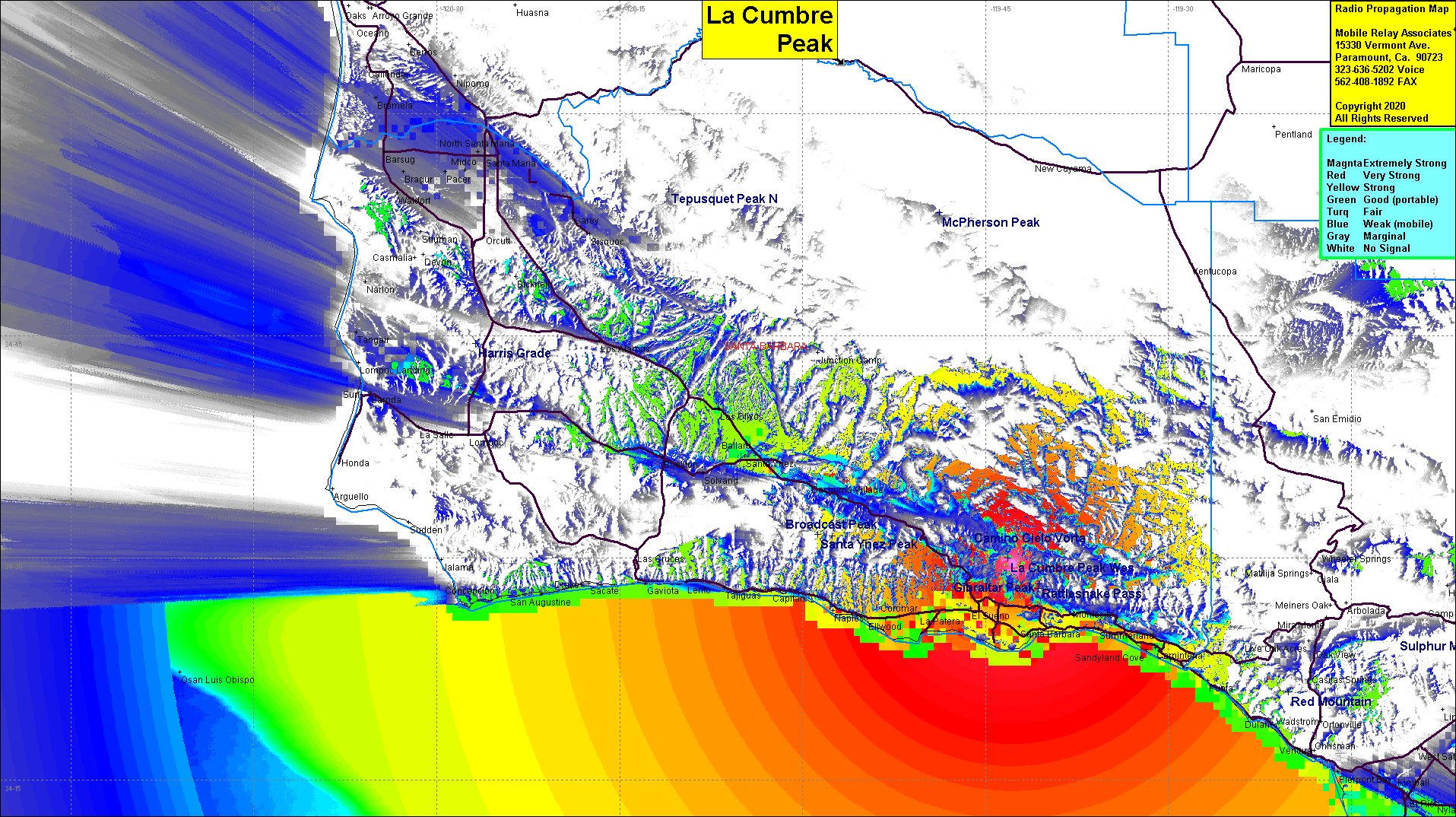 La Cumbre Peak Coverage |
| Latitude: | 034 29 40.1N | 34.4944722 |
| Longitude: | 119 42 44.9W | -119.7124722 |
| Feet | Meters | |
| Ground Elevation: | 3973.1 | 1211.0 |
| HAAT: | 2577.9 | 785.7 |
| City: | Santa Barbara | |
| County: | Santa Barbara | |
| State: | California |
This is not an MRA Owned Site. For space rental contact the site owner.
Do you own or manage this site? Click Here
Would you like to add a site to the Google Earth Map?? Click Here
Site Coverage: Santa Barbara, Hope Ranch, Goleta, La Padera, Ellwood, Naples, Coromar, El Sueno, Summerland, Montecito, Serena Peak, Shadyland Cove, Carpinteria, Punta, Punta Gorda, Sea Cliff, Dulah, Oxnard, Port Hueneme, Hollywood Beach, Cachuma Village, Lento, Gaviota, Capitan
Amateur (ham) frequencies: