McPherson Peak
| Site Name: | McPherson Peak | 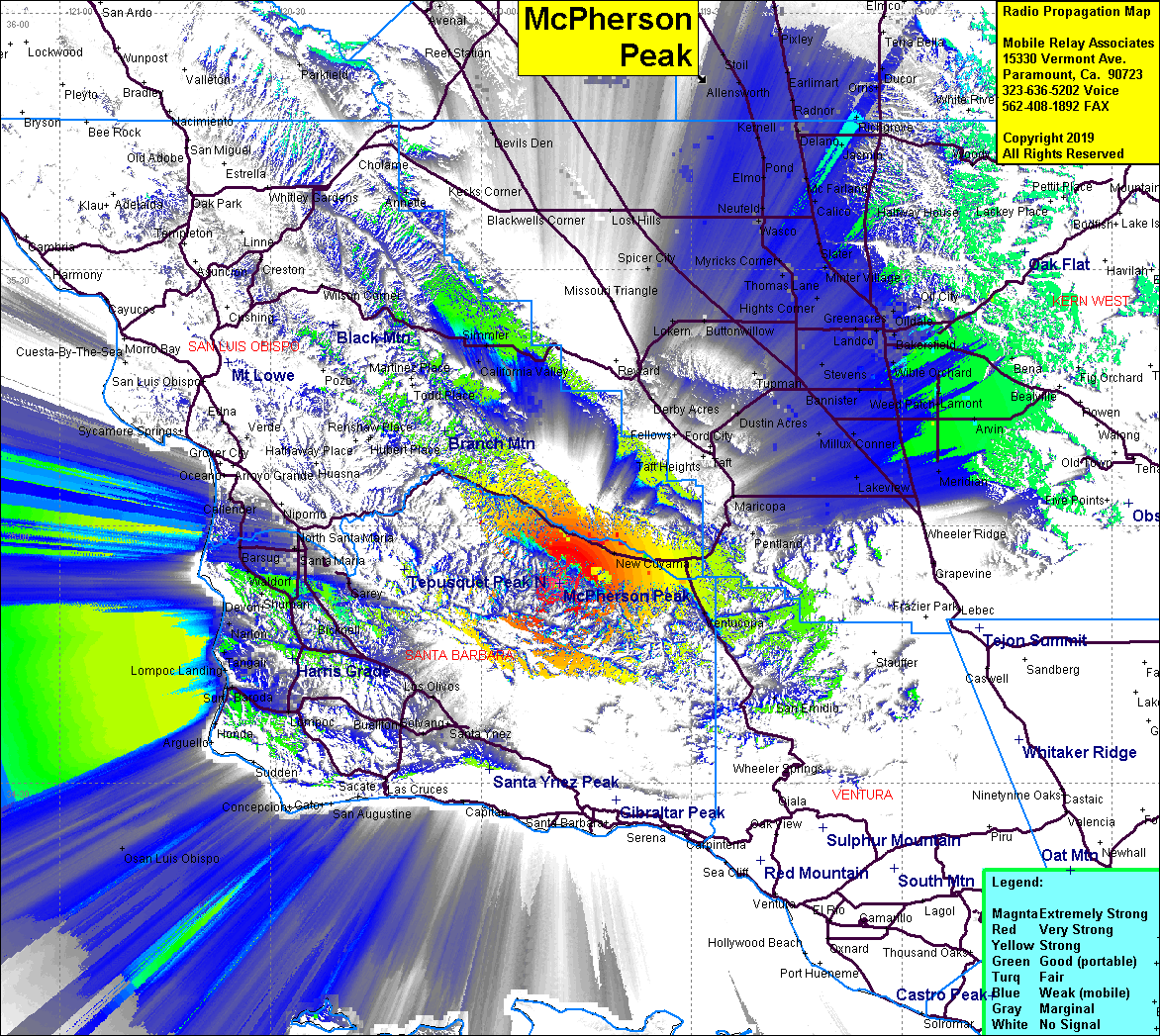 McPherson Peak Coverage |
| Latitude: | 034 53 18.2N | 34.8883889 |
| Longitude: | 119 48 47.6W | -119.8132222 |
| Feet | Meters | |
| Ground Elevation: | 5750.0 | 1752.6 |
| HAAT: | 2698.4 | 822.5 |
| City: | New Cuyama | |
| County: | Santa Barbara | |
| State: | California |
This is not an MRA Owned Site. For space rental contact the site owner.
Do you own or manage this site? Click Here
Would you like to add a site to the Google Earth Map?? Click Here
Site Coverage: Cuyama, New Cuyama, Ventucopa, Hazelton, San Emidio, Barsug, Waldorf, Betteravia, Bragur, Carr, Pacer, Midco, Rosemary, Bromesa, Callender, Arvin, Meridian, Lamont
Amateur (ham) frequencies: