Mount Able
| Site Name: | Mount Able | 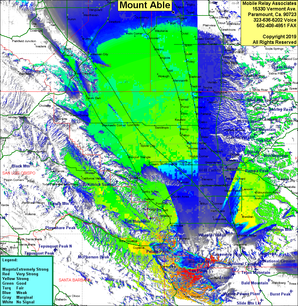 Mount Able Coverage |
| Latitude: | 034 49 44.9N | 34.8291389 |
| Longitude: | 119 12 13.4W | -119.2037222 |
| Feet | Meters | |
| Ground Elevation: | 8,267.7 | 2,520.0 |
| HAAT: | 3,216.6 | 980.4 |
| City: | Frazier Park | |
| County: | Kern | |
| State: | California |
This is not an MRA Owned Site. For space rental contact the site owner.
Do you own or manage this site? Click Here
Would you like to add a site to the Google Earth Map?? Click Here
Site Coverage: Coverage of the western San Joaquin Valley from north of Bakersfield to just south of Fresno, California Valley, Cuyama, Ventucopa, San Emidio
Amateur (ham) frequencies: