Santa Rosa Mtn
| Site Name: | Santa Rosa Mtn | 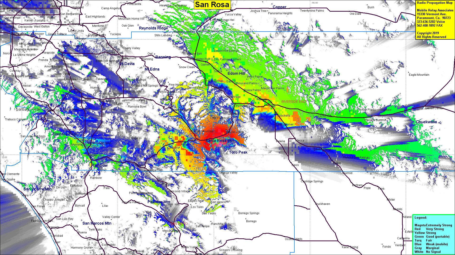 Santa Rosa Mtn Coverage |
| Latitude: | 033 32 42.4N | 33.5451111 |
| Longitude: | 116 28 09.2W | -116.4692222 |
| Feet | Meters | |
| Ground Elevation: | 7,499.0 | 2,285.7 |
| HAAT: | 3,260.1 | 993.7 |
| City: | Nightingale | |
| County: | Riverside | |
| State: | California |
This is not an MRA Owned Site. For space rental contact the site owner.
Do you own or manage this site? Click Here
Would you like to add a site to the Google Earth Map?? Click Here
Site Coverage: Coverage of the Coachella Valley, Nightingale, Robbonwood, Anza, Coahuila, Murietta
Amateur (ham) frequencies: