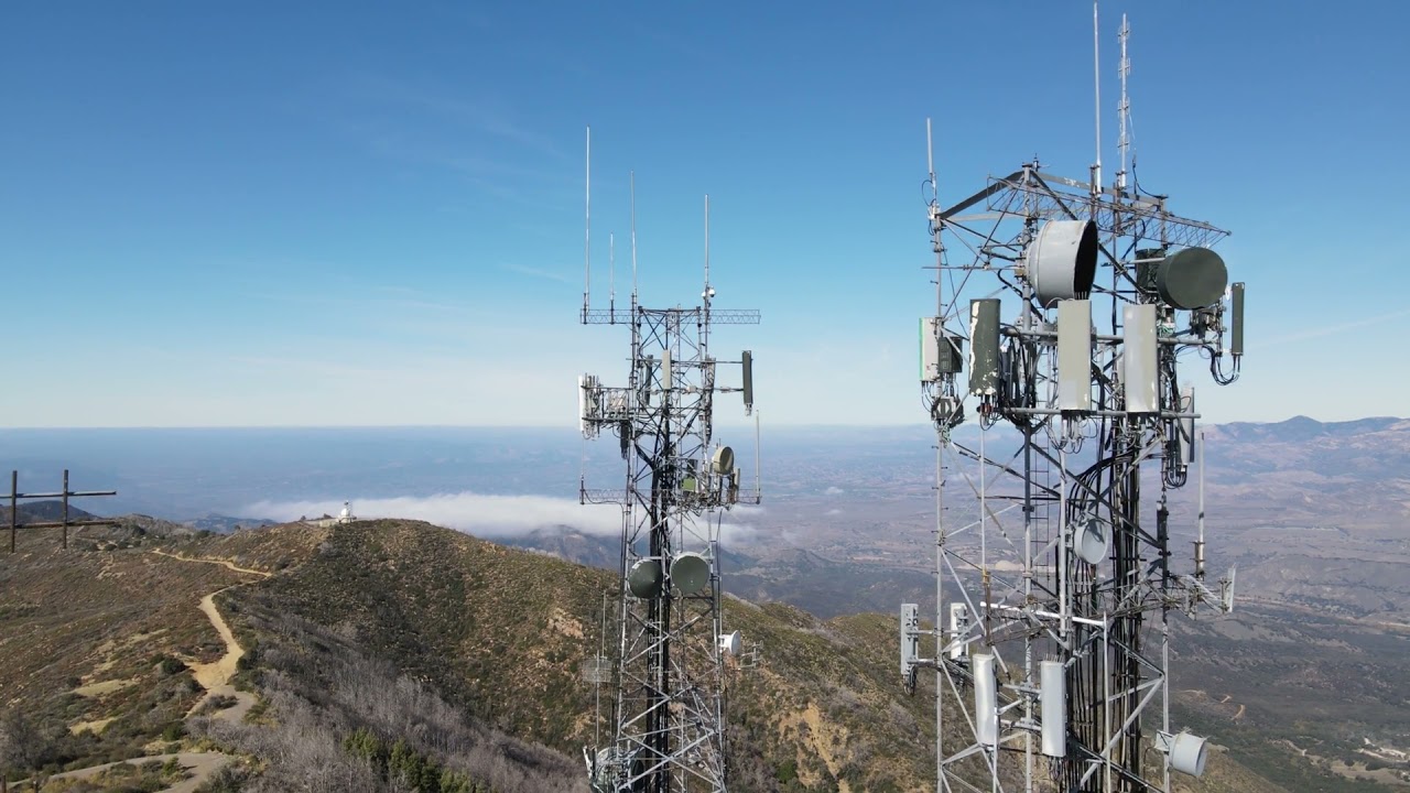
Santa Ynez Peak
| Site Name: | Santa Ynez Peak | 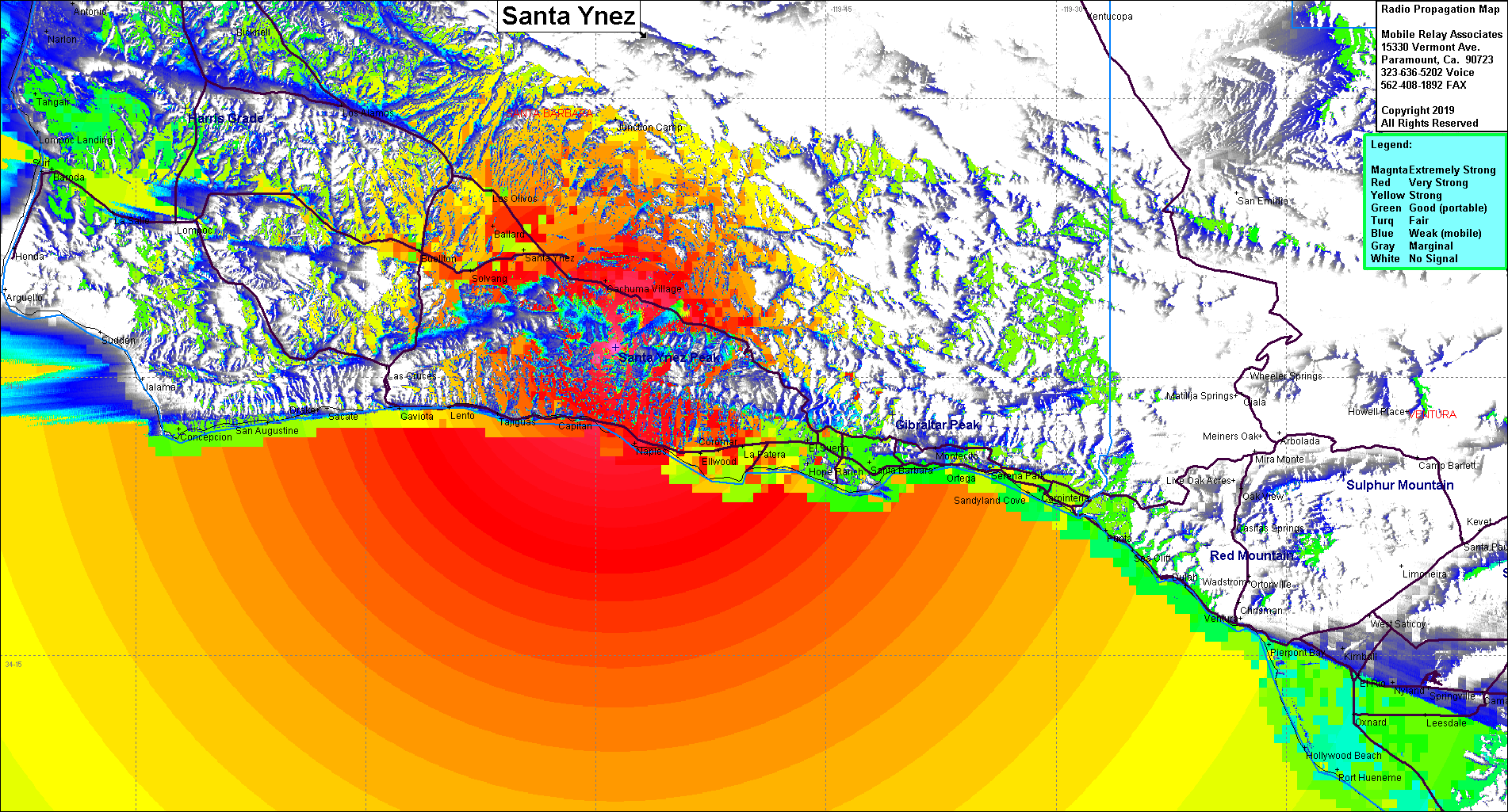 |
| Latitude: | 034 31 36.6N | 34.5268333 |
| Longitude: | 119 58 44.8W | -119.9791111 |
| Feet | Meters | |
| Ground Elevation: | 4,275.9 | 1,303.3 |
| HAAT: | 3,268.3 | 996.2 |
| City: | Santa Ynez | |
| County: | Santa Barbara | |
| State: | California |
This is not an MRA Owned Site. For space rental contact the site owner.
Do you own or manage this site? Click Here
Would you like to add a site to the Google Earth Map?? Click Here
Site Coverage: Coverage of Santa Barbars, the coastline from Ventura to Point Conception, Buelton, Solvang and up north to Santa Maria