Warner Springs
| Site Name: | Warner Springs | 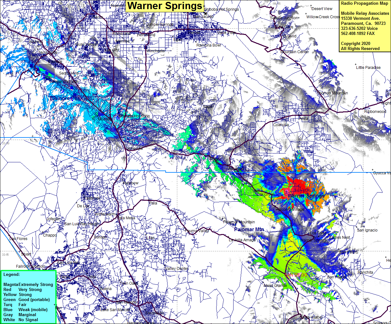 Warner Springs Coverage |
| Latitude: | 033 23 00.7N | 33.3835278 |
| Longitude: | 116 42 22.0W | -116.7061111 |
| Feet | Meters | |
| Ground Elevation: | 4290.0 | 1307.6 |
| HAAT: | 444.5 | 135.5 |
| City: | Oak Grove | |
| County: | San Diego | |
| State: | California |
This is not an MRA Owned Site. For space rental contact the site owner.
Do you own or manage this site? Click Here
Would you like to add a site to the Google Earth Map?? Click Here
Site Coverage: Coverage of Warner Springs, Los Tules, Eagles Nest, Oak Grove, Holcomb Village, Aguanga, Redec, Highway 79 from Aguanga to the Junction of Highway 76
Amateur (ham) frequencies: