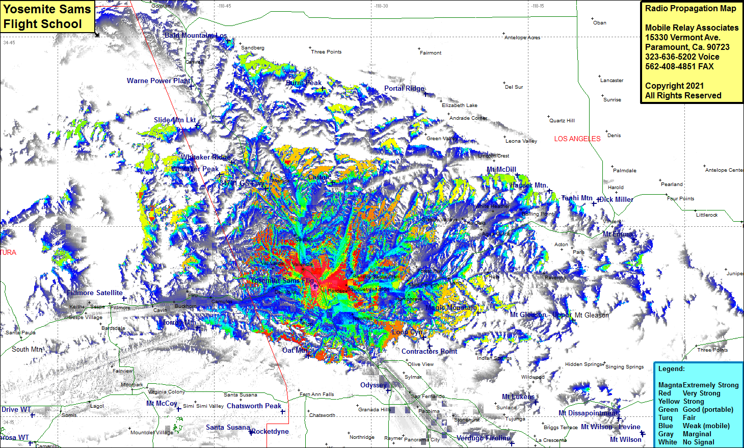
Yosemite Sams Flight School
| Site Name: | Yosemite Sams Flight School |  Yosemite Sams Flight School Coverage |
| Latitude: | 034 25 17.4N | 34.4215000 |
| Longitude: | 118 35 21.7W | -118.5893611 |
| Feet | Meters | |
| Ground Elevation: | 1149.0 | 350.2 |
| HAAT: | -412.2 | -125.6 |
| City: | Castaic | |
| County: | Los Angeles | |
| State: | California |
This is not an MRA Owned Site. For space rental contact the site owner.
Do you own or manage this site? Click Here
Would you like to add a site to the Google Earth Map?? Click Here
Site Coverage: Coverage of Valencia, Val Verde, Del Valle, Pico, Newhall, Saugus, Pardee, Bouquet Junction, Rancho Santa Clarita, Solemint, Mint Canyon, Forest Park, Lang, Russ, Revenna, Sleepy Valley, White Heather, Boiling Point, Agua Dulce, Ninetynine Oaks, Castaic, Martins, Camulos, Piru, Buckhorn, Cavin
Amateur (ham) frequencies:
