Black Hills SO
| Site Name: | Black Hills SO |  Black Hills SO Coverage |
| Latitude: | 043 46 26.7N | 43.7740833 |
| Longitude: | 103 36 40.2W | -103.6111667 |
| Feet | Meters | |
| Ground Elevation: | 5581.0 | 1701.1 |
| HAAT: | 85.3 | 26.0 |
| City: | Custer | |
| County: | Custer | |
| State: | South Dakota |
This is not an MRA Owned Site. For space rental contact the site owner.
Do you own or manage this site? Click Here
Would you like to add a site to the Google Earth Map?? Click Here
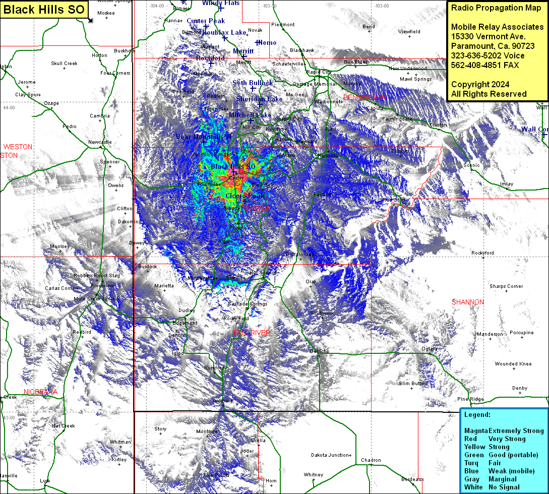
Site Coverage: Coverage of Spokane, Harney, Hayward, Ajax, Hermosa, Grapid City, Rockerville, Stratosphere Bowl, Canadaville, Reno, Hill City, Five Points, Hisega, Big Bend, Johnson Siding, Canyon City, Merritt, Grossage Memorial, Caputa, Warbonnet, Farmingdale, Creston, Murphy, Custer, Blue Bell, Fairburn, Buffalo Gap, Oral, Erskine, Hot Springs, Cascade Springs, Smithwick, Oglala, Rocky Ford, Joder, Fourmile, Sanator, Minnekahta, Burdock, Dudley, Edgemont, Dennis, Igloo, Provo, Rumford, Ardmore, Morrisey, Robbers Roose Stage, Riverview, Carlas Corner, Mule Creek Jct, Hat Creek, Whitman, Montrose, Five Points, Berne, Vestal Springs, Jct Ranger St, Oreville, Reno, Tigerville, Redfern, Deerfield, Nahant, Dumont, Spencer
