Vivian
| Site Name: | Vivian |  Vivian Coverage |
| Latitude: | 044 07 24.1N | 44.1233611 |
| Longitude: | 100 19 50.2W | -100.3306111 |
| Feet | Meters | |
| Ground Elevation: | 2229.0 | 679.4 |
| HAAT: | 481.0 | 146.6 |
| City: | Vivian | |
| County: | Lyman | |
| State: | South Dakota |
This is not an MRA Owned Site. For space rental contact the site owner.
Do you own or manage this site? Click Here
Would you like to add a site to the Google Earth Map?? Click Here
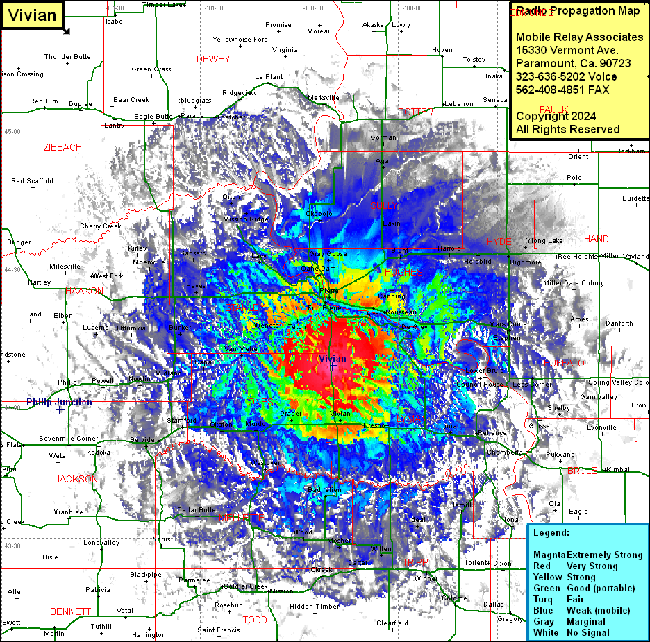
Site Coverage: Coverage of Alto, Russeau, De Grey, Canning, Blunt, Harrold, Goose, Eakin, Onida, Agar, Gorman, Gettysburg, Stephan, Macs Corner, Highmore, Holabird, Yiong Lake, Ames, Mille Dale Colony, Vivian, Presho, Kennebec, Lyman, Reliance, Council House, Lower Brule, Fort Thompson, Lees Corner, Shelby, Grosse, Chamberlain, Oacoma, Iona, Hamill, Ideal, Witten, Jordan Jct, Winner, Carter, Mosher, Draper, Murdo, Westover, Okaton, Capa, Midland, Nowlin, Powell, Stamford, Belvidere, Cedar Butte, White River, Wood, Badnation, Van Metre, Bunker, Wendte, Teton, Hayes, Sansarc, Lacy, Fort Pierre, Pierre, Oahe Dam, Gray Goose, Lacy, Sansaro, Mission Ridge, Orton, Okobojo, Lucerne, West Fork, Moenville, Kirley, Thatcher, Ridgeview, Marksville
