Bruin Point
| Site Name: | Bruin Point |  Bruin Point Coverage |
| Latitude: | 039 38 41.0N | 39.6447222 |
| Longitude: | 110 20 51.8W | -110.3477222 |
| Feet | Meters | |
| Ground Elevation: | 10166.0 | 3098.6 |
| HAAT: | 2041.9 | 622.4 |
| City: | Sunnyside | |
| County: | Carbon | |
| State: | Utah |
This is not an MRA Owned Site. For space rental contact the site owner.
Do you own or manage this site? Click Here
Would you like to add a site to the Google Earth Map?? Click Here
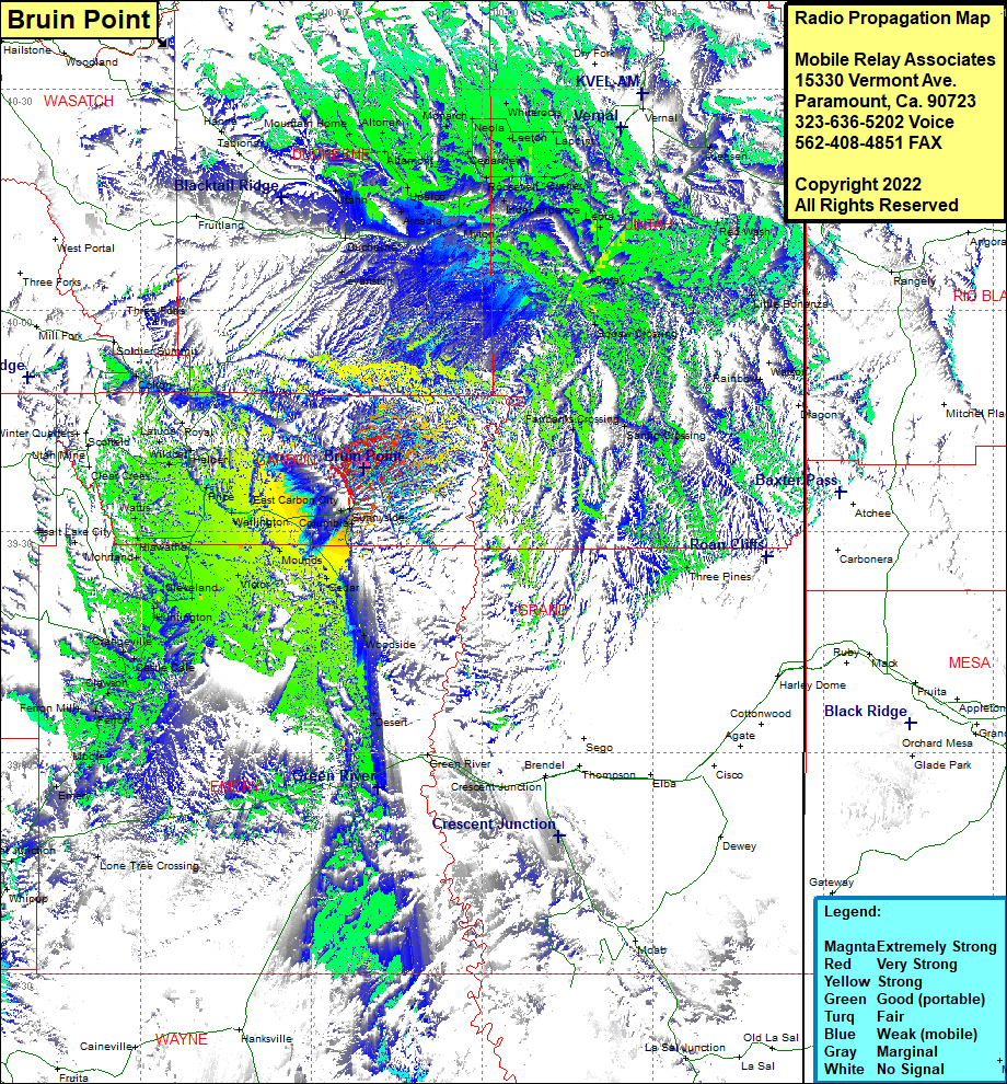
Site Coverage: Coverage of Sunnyside, East Carbon City, Wellington, Columbia, Mounds, Dedar, Woodside, Desert, Victor, Price, Cleveland, Huntington, Orangeville, Castle Dale, Clawson, Ferron, Ferron Mill, Moore, Emery, Lone Tree Crossing, Whipup, Fremont Junction, Hiawatha, Wattis, Clear Creek, Wood Hill Price, Helper, Latuda, Mutual, Royal, Colton, Hanna, Mountain Home, Altonah, Altamont, Utahn, Duchesne, Evanston, Myton, Bridgeland, Upalso, Monarch, Cedarview, Neola, Leeton, Whiterocks, Roosevelt, Gusher, Independence, Leota, Ouray, Squaw Crossing, Vernal, Jensen, Red Wash, Liittle Bonanza, Rainbow, Santio Crossing, Fairbanks Crossing, Three Pines
