Bullfrog Basin
| Site Name: | Bullfrog Basin | 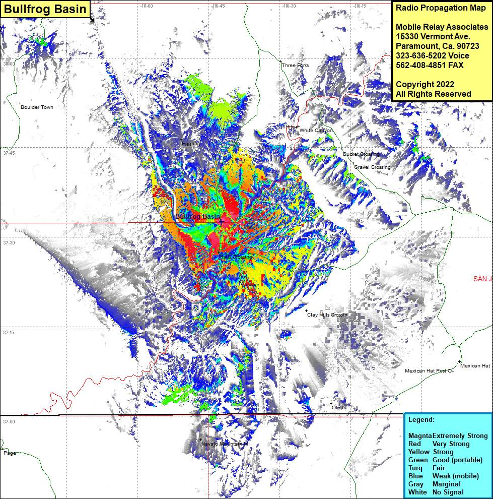 Bullfrog Basin Coverage |
| Latitude: | 037 32 34.3N | 37.5428611 |
| Longitude: | 110 42 14.2W | -110.7039444 |
| Feet | Meters | |
| Ground Elevation: | 4193.0 | 1278.0 |
| HAAT: | 266.9 | 81.3 |
| City: | Bullfrog Basin | |
| County: | Garfield | |
| State: | Utah |
This is not an MRA Owned Site. For space rental contact the site owner.
Do you own or manage this site? Click Here
Would you like to add a site to the Google Earth Map?? Click Here
Site Coverage: Coverage of Halls Crossing, Eggnog, Hiter, White Canyon, Utah Highway 276 heading north for a few miles and from Halls Crossing heading east for several miles