Lucin II
| Site Name: | Lucin II | 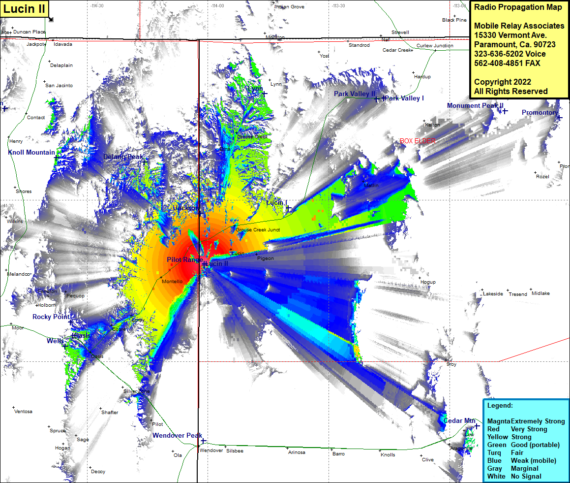 Lucin II Coverage |
| Latitude: | 041 18 11.4N | 41.3031667 |
| Longitude: | 114 00 54.7W | -114.0151944 |
| Feet | Meters | |
| Ground Elevation: | 6109.0 | 1862.0 |
| HAAT: | 957.0 | 291.7 |
| City: | Lucin | |
| County: | Box Elder | |
| State: | Utah |
This is not an MRA Owned Site. For space rental contact the site owner.
Do you own or manage this site? Click Here
Would you like to add a site to the Google Earth Map?? Click Here
Site Coverage: Coverage of Grouse Creek Junction, Lucin, Pigeon, Etna, Grouse Creek, Rosette, Matlin, Aragonite, Tecoma, Montello, Loray, Cobre, Oasis, Pilot, Proctor, Clifside, Sage, Pequop, Fenelon