Lynn
| Site Name: | Lynn | 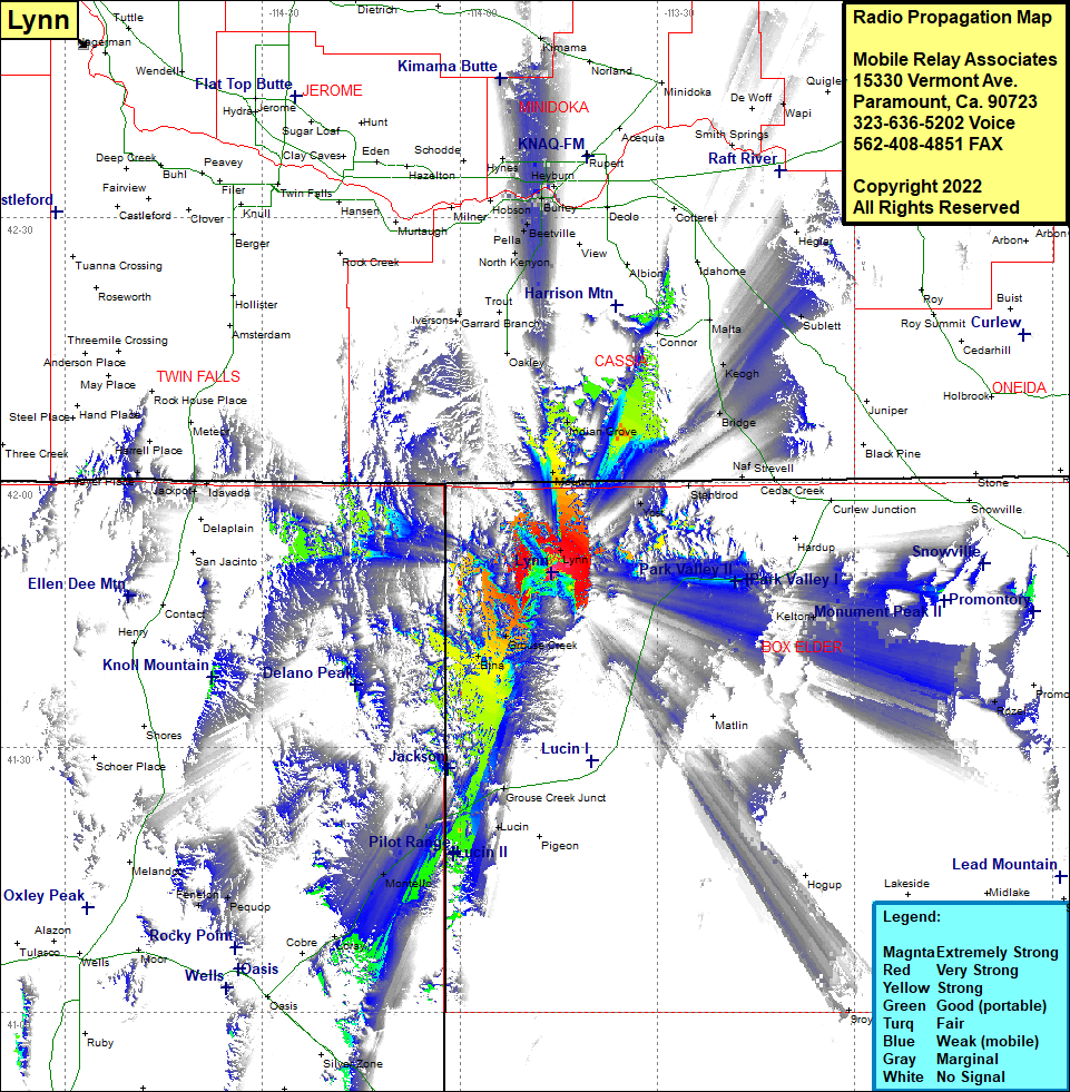 Lynn Coverage |
| Latitude: | 041 49 50.3N | 41.8306389 |
| Longitude: | 113 46 03.3W | -113.7675833 |
| Feet | Meters | |
| Ground Elevation: | 7649.0 | 2331.4 |
| HAAT: | 1198.6 | 365.3 |
| City: | Lynn | |
| County: | Box Elder | |
| State: | Utah |
This is not an MRA Owned Site. For space rental contact the site owner.
Do you own or manage this site? Click Here
Would you like to add a site to the Google Earth Map?? Click Here
Site Coverage: Coverage of Lynn, Moulton, Almo, Indian Grove, Basin, North Kenyon, Ruby, Pella, Burley, Unity, Heyburn, Amalga, Budge, Paul, Hynes, Smith Springs, Keogh, Bridge, Rosette, Kelton, Rozel, Grouse Creek, Etna, Grouse Creek Junction, Lucin, Pigeon, Tecoma, Montello, Loray, Cobre, Oasis, Pequop, Fenelon, Holborn, Player Place