Pilot Range
| Site Name: | Pilot Range | 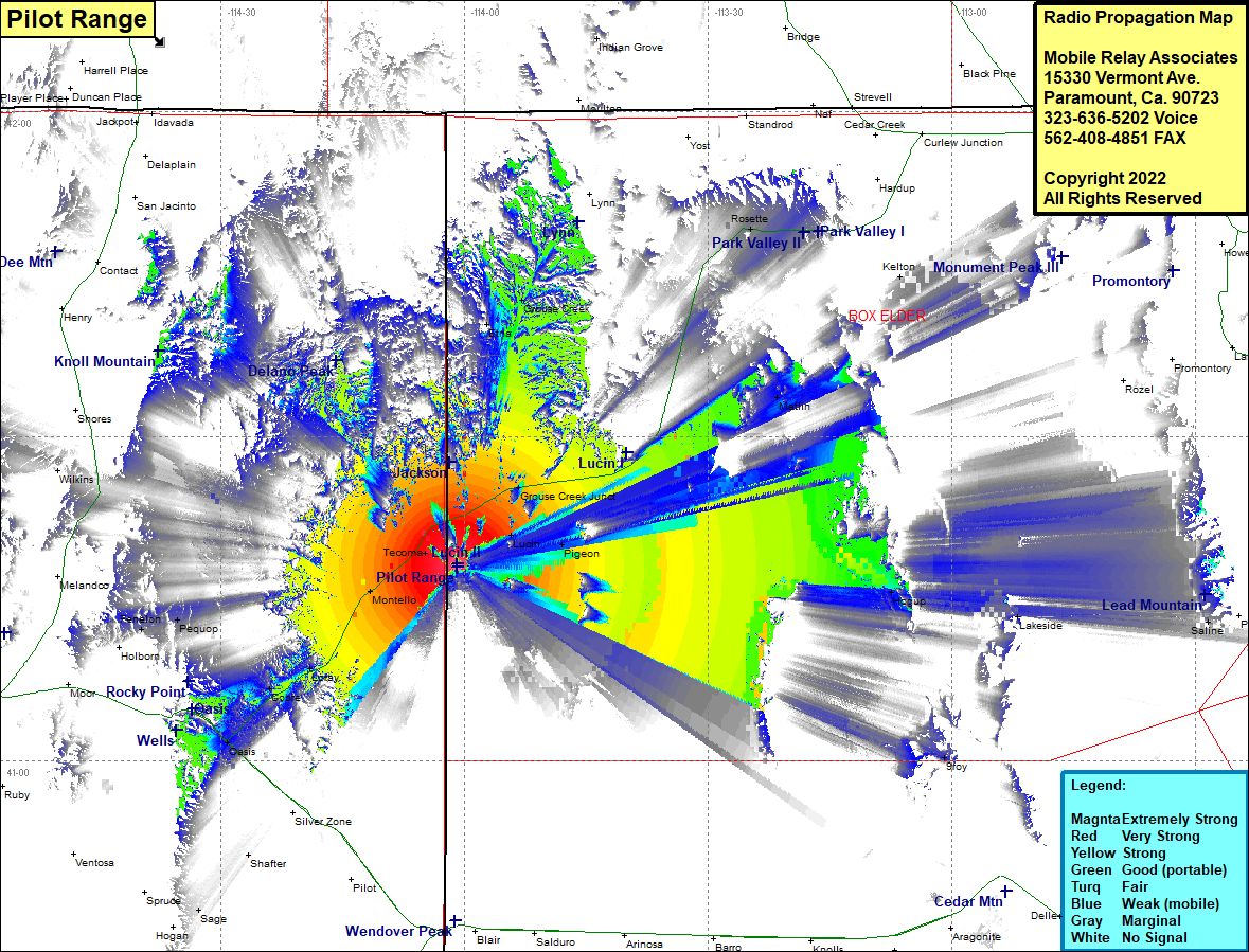 Pilot Range Coverage |
| Latitude: | 041 17 54.8N | 41.2985556 |
| Longitude: | 114 00 53.2W | -114.0147778 |
| Feet | Meters | |
| Ground Elevation: | 6236.0 | 1900.7 |
| HAAT: | 1078.9 | 328.8 |
| City: | Lucin | |
| County: | Box Elder | |
| State: | Utah |
This is not an MRA Owned Site. For space rental contact the site owner.
Do you own or manage this site? Click Here
Would you like to add a site to the Google Earth Map?? Click Here
Site Coverage: Coverage of Lucin, Pigeon, Grouse Creek Junction, Matlin, Etna, Grouse Creek, Rosette, Kelton, Indian Grove, Hogup, Montello, Loray, Cobre, Oasis, Pequop, Fenelon, Tecoma, Schoer Place