Hawkeye Point
| Site Name: | Hawkeye Point | 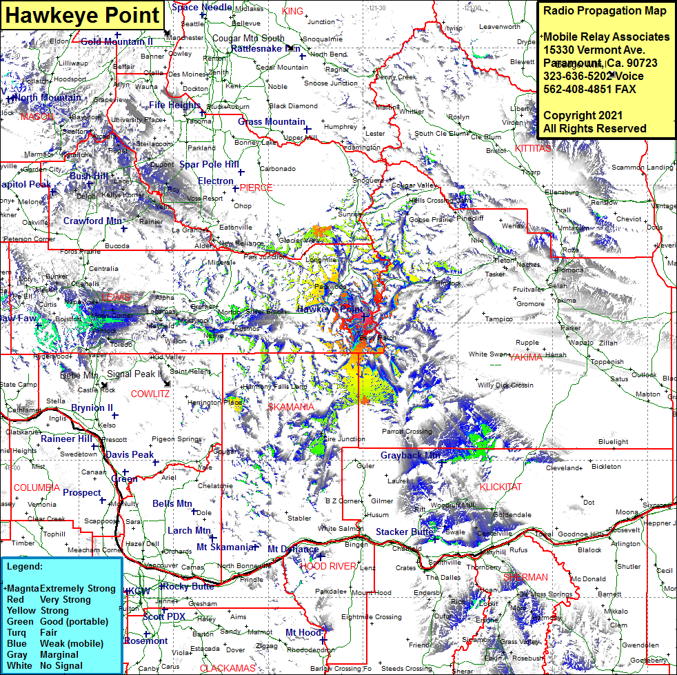 Hawkeye Point Coverage |
| Latitude: | 046 31 20.2N | 46.5222778 |
| Longitude: | 121 29 35.4W | -121.4931667 |
| Feet | Meters | |
| Ground Elevation: | 7400.0 | 2255.5 |
| HAAT: | 2753.2 | 839.2 |
| City: | Packwood | |
| County: | Lewis | |
| State: | Washington |
This is not an MRA Owned Site. For space rental contact the site owner.
Do you own or manage this site? Click Here
Would you like to add a site to the Google Earth Map?? Click Here
Site Coverage: Coverage of Berry Patch, Packwood, Silver Brook, Randle, Glenoma, Kosmos, Tire Junction, Parrott Crossing, Bumping Crossing Corner, Goose Prairie