Lookout Mtn II
| Site Name: | Lookout Mtn II |  Lookout Mtn II Coverage |
| Latitude: | 048 41 18.7N | 48.6885278 |
| Longitude: | 122 21 38.6W | -122.3607222 |
| Feet | Meters | |
| Ground Elevation: | 2673.0 | 814.7 |
| HAAT: | 2042.4 | 622.5 |
| City: | Chuckanut | |
| County: | Whatcom | |
| State: | Washington |
This is not an MRA Owned Site. For space rental contact the site owner.
Do you own or manage this site? Click Here
Would you like to add a site to the Google Earth Map?? Click Here
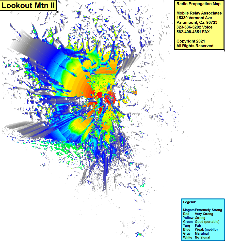
Site Coverage: Coverage of Bellingham, Noon, Cedarville, Lawrence, Everson, Nooksack, Sumas, Clearbrook, Lynden, Laurel, Ferndale, Kickenville, Mountain View, Cottonwood Beach, Blaine, Semiahmoo, Point Roberts, Maple Beach, Richmond, Surrey, Vancouver, Burnaby, North Vancouver, Lumni Island, Marietta, Van Wyck, Noon, Bellingham, Chuckanut, Samish, Alger, Thronwood, Bow, Burlington, Sedro-Wolley, Mount Vernon, Cedardale, Milltown, English Boom, Stanwood, Big Lake, Bryant, Arlington, Smokey Point, Sisco Heights, Kruse, Marysville, Lochsloy, Machias, Three Lakes, Everett, Mukilteo, Glendale, Austin, Midvale Corner, Mission Bach, Spee-Bi-Dah, McKees Beach, Indian Beach, Rockaway Beach, Mats Mats, Nordland, Port Townsend, Keystone Ferry Landing, Coopeville, Prairie Center, Penn Cove Park, Swantown, Maketown, La Conner, Gibraltar, Mount Vernon, Burlington, Tukey, Port Williams, Sequim, Old Town, Port Angeles, Lower Elwha, Little Oklahoma, King Hill
