Limestone Mtn
| Site Name: | Limestone Mtn |  Limestone Mtn Coverage |
| Latitude: | 042 34 42.6N | 42.5785000 |
| Longitude: | 108 42 48.0W | -108.7133333 |
| Feet | Meters | |
| Ground Elevation: | 9,005.0 | 2,744.7 |
| HAAT: | 1,324.3 | 403.7 |
| City: | Lander | |
| County: | Fremont | |
| State: | Wyoming |
This is not an MRA Owned Site. For space rental contact the site owner.
Do you own or manage this site? Click Here
Would you like to add a site to the Google Earth Map?? Click Here
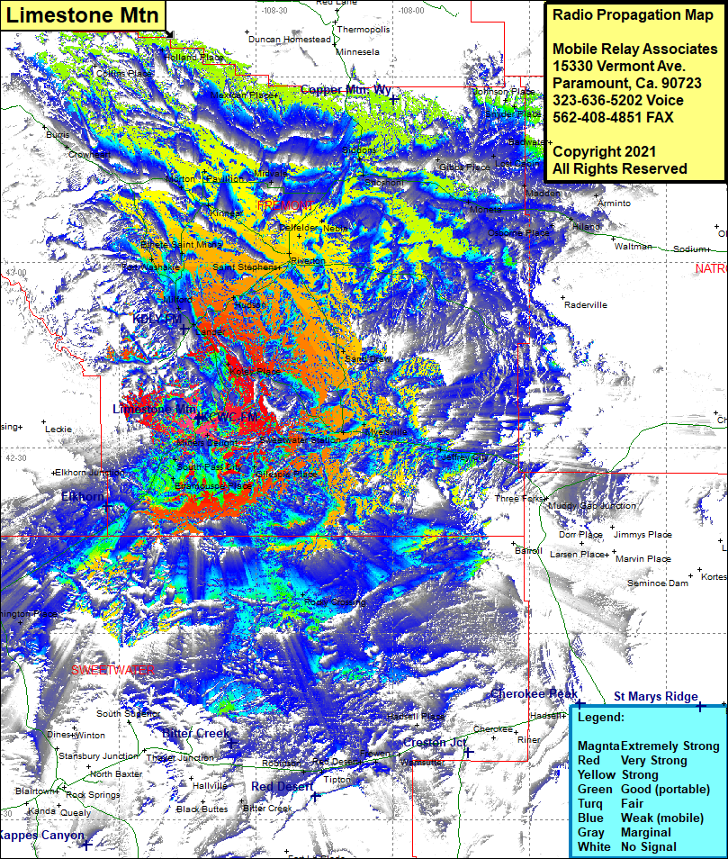
Site Coverage: Coverge of Burris, Crowheart, Etheta Saint Micha, Fort Washakie, Milford, Lander, Saint Stephene, Riverton, Dellelder, Noble, Midvale, Kinnear, Morton, Pavillion, Siddons, Shosheni, Collins Place, Holland Place, Mexican Place, Johnson Place, Henry Place, Lost Cabin, Gibbs Place, Madden, Monela, Osborne Place, Hiland, Arminto, Waltman, Sand Draw, Hudson, Lander, Milford, Kote Place, Sweetwater Station, Meyersville, Gilespie, South Pass City, Erramouspe Place, Miners Delight, Jeffrey City, Rocky Crossing, Farson, Eden
