Select Page

Radio Tower Site – Dora Peak, Ikatan, Unimak Island County, Alaska

Dora Peak

Site Name: Dora Peak heat map radio coverage Dora Peak
Latitude: 054 42 43.0N 54.7119444
Longitude: 163 11 39.0W -163.1941667
Feet Meters
Ground Elevation: 1805.0 550.2
HAAT: 1648.6 502.5
City: Ikatan
County: Unimak Island
State: Alaska

Site Coverage:    Coverage of Unimak Island, Sanak Bank, Sanak Reef, Davidson Bank, parts of Fathometer Reef, Sanak Island, Long Island, Clifford Island, Trinity Islands, Lida Island, Caton Island, Elma Island, Princess Rock, Finneys Island, Wanda Island, Sankin Island, Ikatan Bay, Ikatan, False Pass, Bird Rock, Island Rock, Bechevin Bay, Isanotski Island, Hotsprings Bay

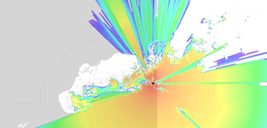
heat map radio coverage Dora Peak


0 0 votes
Article Rating
Subscribe
Notify of
guest
Your Name
Your Email
0 Comments
Oldest
Newest Most Voted
Inline Feedbacks
View all comments
0
Would love your thoughts, please comment.x
()
x