Bill Williams Mtn
| Site Name: | Bill Williams Mtn |  Bill Williams Mtn Coverage |
| Latitude: | 035 12 00.7N | 35.2001944 |
| Longitude: | 112 12 18.3W | -112.2050833 |
| Feet | Meters | |
| Ground Elevation: | 9225.0 | 2,811.8 |
| HAAT: | 2449.0 | 746.5 |
| City: | Williams | |
| County: | Coconino | |
| State: | Arizona |
This is not an MRA Owned Site. For space rental contact the site owner.
Do you own or manage this site? Click Here
Would you like to add a site to the Google Earth Map?? Click Here
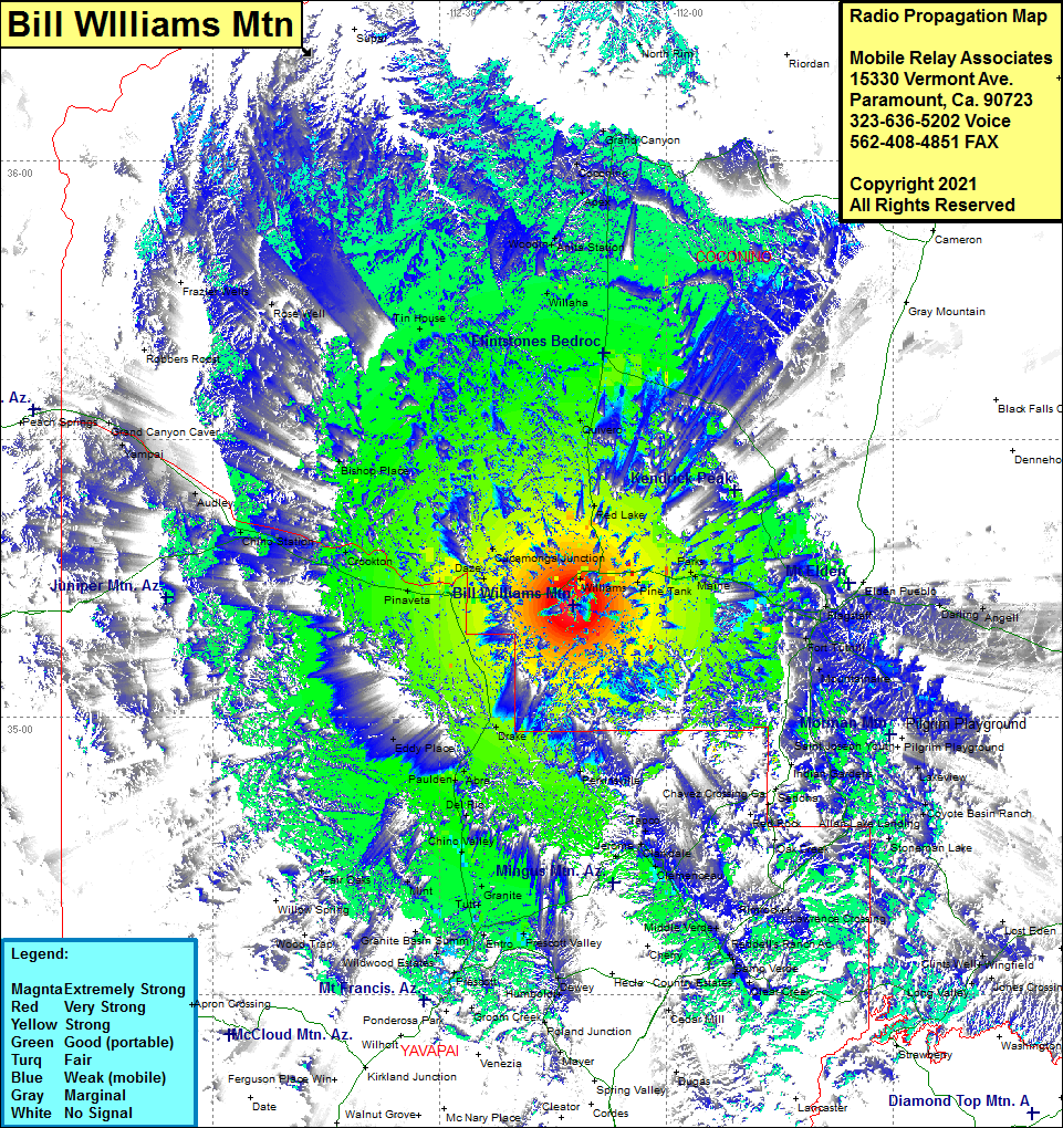
Site Coverage: Coverage of Williams, Pine Tank, Maine, Parks, Bellmont, Flagstaff, Fort Tuthi. Mountainaire, Rockledge, Lakeview, Coyote Basin Ranch, Allan Lake Landing, Stoneman Lake, Clints Wells, Long Valley, Clear Creek, Camp Verde, Reddells Ranch, Hecla Country Estates, Cedar Mill, Middle Verde, Lawrence Crossing, Rimrock, Clemenceau, Clarkdale, Jerome, Tapco, Chavez Crossing, Perkinsville, Granite, Tutt, Chino Valley, Del Rio, Paulden, Abra, Eddy Place, Drake, Entro, Prescott, Prescott Valley, Humboldt, Mint, Fair Oaks, Pinaveta, Crookton, Chino Station, Audley, Pica, Grand Canyon Carver, Daze, Cucamona Junction, Bishop Place, Red Lake, Quivero, Valle, Tin House, Rose Well, Willaha, Woodin, Anita Station, Apex, Coconino, Grand Canyon, US Highway 180 from Flagstaff to Flintstones Bedrock City and Arizona Highway 64 from Williams to the Grand Canyon
