Seven Mile Ridge
| Site Name: | Seven Mile Ridge |  Seven Mile Ridge Coverage |
| Latitude: | 033 45 45.5N | 33.7626389 |
| Longitude: | 109 58 07.9W | -109.9688611 |
| Feet | Meters | |
| Ground Elevation: | 6348.0 | 1,934.9 |
| HAAT: | 591.0 | 180.1 |
| City: | Whiteriver | |
| County: | Navajo | |
| State: | Arizona |
This is not an MRA Owned Site. For space rental contact the site owner.
Do you own or manage this site? Click Here
Would you like to add a site to the Google Earth Map?? Click Here
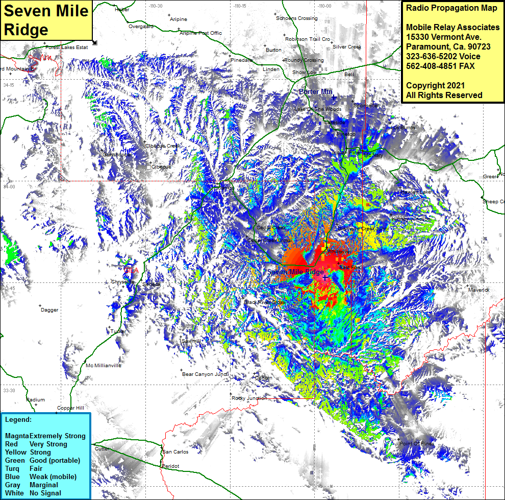
Site Coverage: Coverage of Fort Apache Junction, East Fork, Whiteriver, Diamond Creek Junction, Cedar Creek, Cedar Creek Crossing, Black River Crossing, Kinney Junction, Cibecue Creek, Grasshopper, Hawley Lake, Indian Pine, McNary, Lake of The Woods, Lakeside, Pinetop, Arizona Highway 73 from the junction of US60 to Arizona Highway 260 at Indian Pines with some coverage from Arizona Highway 260 until Show Low
