Towers Mtn
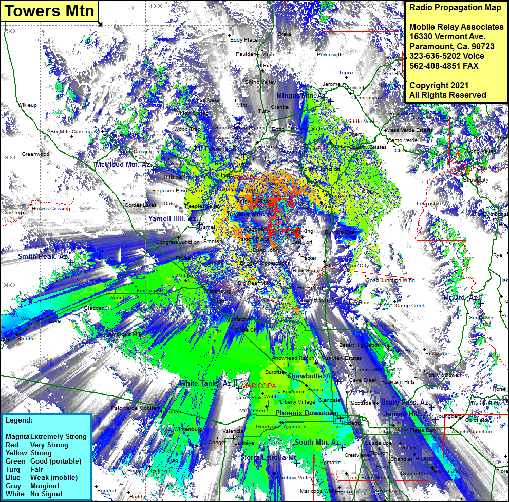
| Site Name: | Towers Mtn |  Towers Mtn Coverage |
| Latitude: | 034 14 03.1N | 34.2341944 |
| Longitude: | 112 22 04.6W | -112.3679444 |
| Feet | Meters | |
| Ground Elevation: | 7625.0 | 2,324.1 |
| HAAT: | 2584.0 | 787.6 |
| City: | Crown King | |
| County: | Yavapai | |
| State: | Arizona |
This is not an MRA Owned Site. For space rental contact the site owner.
Do you own or manage this site? Click Here
Would you like to add a site to the Google Earth Map?? Click Here
Site Coverage: Coverage of Crown King, South Fort, Packer, Copperopolis, Briggs, Humburg, Castle Hot Springs, Chilean Mill, Wagoner, Cleator, Cordes, Venezia, Walker, Kirkland Jct, Kirkland, Yava, Mathie, Forepaugh, Aguila, Gladden, Love, Wenden, Salome, Harqcuvar, Fair Oaks, Granite Basin, Prescott, Prescott Valley, Dewey, Hecla, Granite, Cedar Mill, Flower Pot, Mayer, Arcosanti, Dugas, Rimrock, Lawrence Crossing, Ft McDowell, Peoria Estates, Peoria, Avondale, Komatke, Maricopa Wells, Peters Corner, Starfield, Heaton, Etan, Sacaton, Germann, Chandler Heights, Tonopah, Wintersburg, Crag, Gillespie, Phoenix
