Badger Mtn II
| Site Name: | Badger Mtn II |  Badger Mtn II Coverage |
| Latitude: | 039 03 01.0N | 39.0502778 |
| Longitude: | 105 30 51.0W | -105.5141667 |
| Feet | Meters | |
| Ground Elevation: | 11269.0 | 3434.8 |
| HAAT: | 2228.1 | 679.1 |
| City: | Lake George | |
| County: | Park | |
| State: | Colorado |
This is not an MRA Owned Site. For space rental contact the site owner.
Do you own or manage this site? Click Here
Would you like to add a site to the Google Earth Map?? Click Here
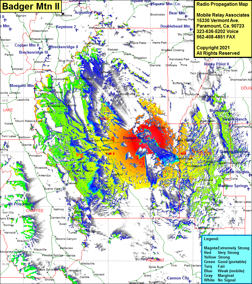
Site Coverage: Coverage of Pike-San Isabel Vi, Hartsel, Garo, Fairplay, Alma Junction, Alma, Como, Peabodys, Jefferson, Bordenville, Tarreyall, Platte Springs, Lake George, Florissant, West Creek, Divide, Gillet, Beacon Hill, Balfour, Haver, Antero Junction, Sacramento, Horseshoe, Alma, Park City, US Highway 24 from US Highway 285 heading east past Divide almost to Woodland Park, Colorado HIghway 9 heading north from Hartsel to Alma and heading south for about 15 miles
