Mt Thorodin
| Site Name: | Mt Thorodin |  Mt Thorodin Coverage |
| Latitude: | 039 53 36.7N | 39.8935278 |
| Longitude: | 105 25 08.1W | -105.4189167 |
| Feet | Meters | |
| Ground Elevation: | 10472.4 | 3192.0 |
| HAAT: | 2185.9 | 666.3 |
| City: | Wondervu | |
| County: | Gilpin | |
| State: | Colorado |
This is not an MRA Owned Site. For space rental contact the site owner.
Do you own or manage this site? Click Here
Would you like to add a site to the Google Earth Map?? Click Here
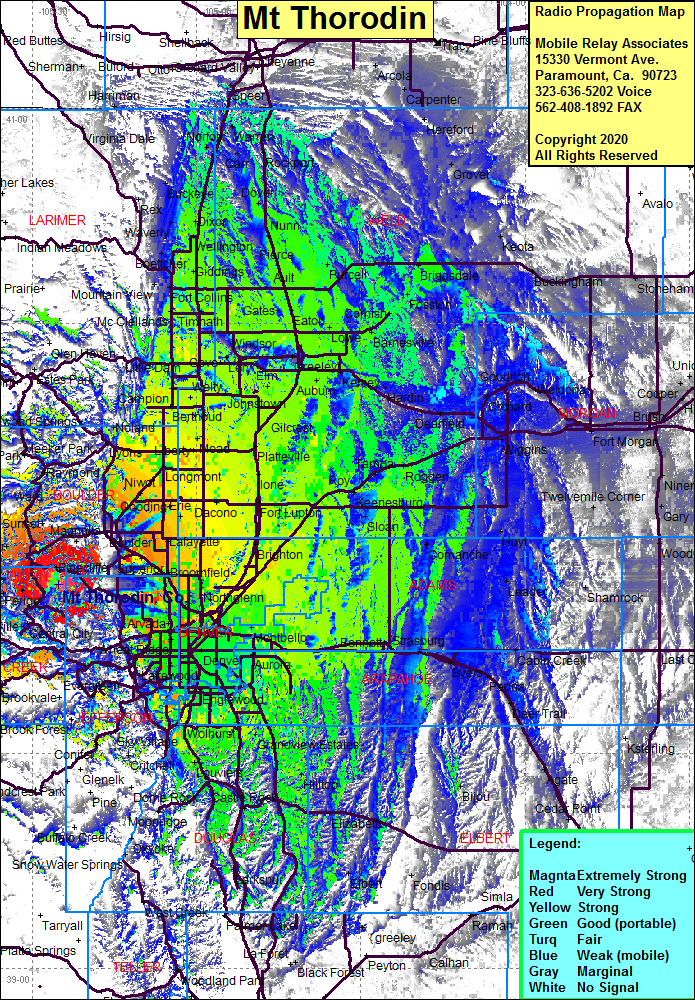
Site Coverage: Coverage of the Denver area of the front range south to Castle Rock and north to the Wyoming border, Perigo, Lincoln Hills, Pactolus, Central City, Nevadaville, Russell Gulch, El Rancho, Hidden Valley, Mt Vernon Club, Copperdale, Miramonte, Lincoln Hills, Eldora, Nederland, Tungsten, Carribou, Corona, Hessie, Eldora, Switzerland Park, Gold Hill, Sunshine, Gresham, Lamartine, Freeland, Black Eagle Mill
