Garnet Knoll
| Site Name: | Garnet Knoll |  Garnet Knoll Coverage |
| Latitude: | 046 42 10.7N | 46.7029722 |
| Longitude: | 112 52 54.6W | -112.8818333 |
| Feet | Meters | |
| Ground Elevation: | 7131.0 | 2,173.5 |
| HAAT: | 1,517.2 | 462.4 |
| City: | Goldcreek | |
| County: | Powell | |
| State: | Montana |
This is not an MRA Owned Site. For space rental contact the site owner.
Do you own or manage this site? Click Here
Would you like to add a site to the Google Earth Map?? Click Here
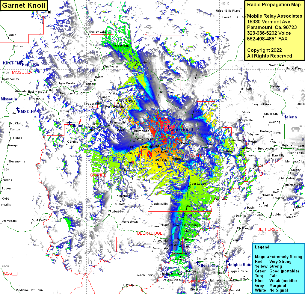
Site Coverage: Coverage of Finn, Bald Butte, Lincoln, Brock Creek, Avon, Garrison, Deer Lodge, Elliston, Blossburg, Four Range, East Helena, Louisville, Clancy, Lakeside, Clasoff, Dempsey, Galen, Warmsprings, Warm Springs, Morel, Opportunity, Silca, Staton, Stuart, Crackerville, Gregson, Gregson Hot Spring, Durant, Miles Crossing, Buxton, Ozan, Drummond, New Chicago, Haskell, Jens, Goldcreek, Wall City, Pioneer, Hall, Sherry One, Stone, Maxville, French Town, Bearmouth, Springtown, Coloma, Top O’deep, Woodworth, Ovando, Helmdale, Seeley Lake
