Heights Butte
| Site Name: | Heights Butte |  Heights Butte Coverage |
| Latitude: | 046 00 22.5N | 46.0062500 |
| Longitude: | 112 26 35.9W | -112.4433056 |
| Feet | Meters | |
| Ground Elevation: | 8203.0 | 2,500.3 |
| HAAT: | 1,785.5 | 544.2 |
| City: | Williamsburg | |
| County: | Silver Bow | |
| State: | Montana |
This is not an MRA Owned Site. For space rental contact the site owner.
Do you own or manage this site? Click Here
Would you like to add a site to the Google Earth Map?? Click Here
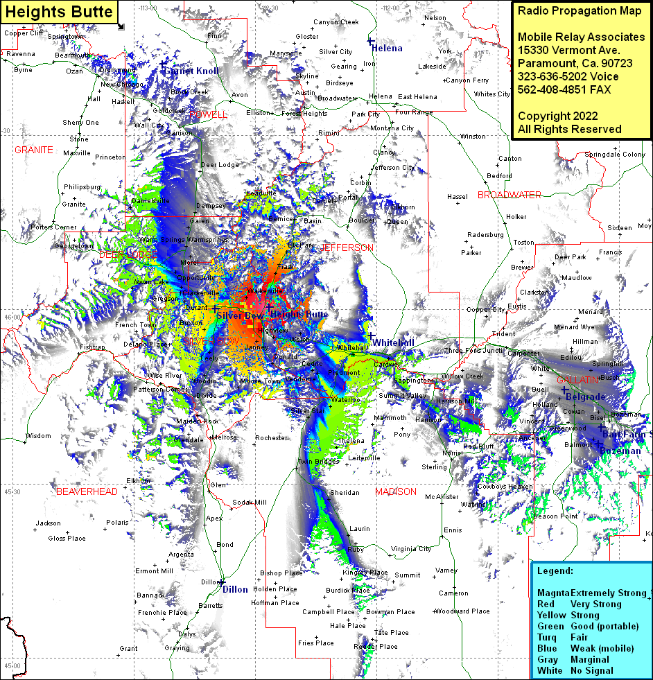
Site Coverage: Coverage of Woodville, Trask, Elk Park, Bernice, Elkhorn, Highview, Homestake, Pappas Place, Welch, Tippet Place, Pipestone Hot Springs, Whitehall, Piedmont, Renova, Waterloo, Silver Star, Sunlight, Silver Star, Twin Bridges, Helena, Shaws, Harrison, Harrison Mill, Beals, Summit Valley, Sappington, Willow Creek, West Gallatin, Cowan, Camona, Kems, Bisel, Story, Wisner Crossing, Busch, Springhill, Edilou, Carpenter, Copper City, Norris, Leonard Place, Sheridan, Laurin, Ruby, Alder, Bozeman, Patterson, Westlake, Vincent, Anceney, Florel Park, Skones, Newcomb, Janney, Nine-Mile, Williamsburg, Ransay, Nissler, Rocker, Buxton, Sciuchellt Place, Delano Place, Feely, Woodin, Moose Town, Divide, Maiden Rock, Quinn, Walkerville, Centerville, Meadeville, Walkerville, Centerville, Miles Crossing, Hackney, Gregson, Crackerville, Stuart, Opportunity, Silca, Staton, Swan Lake, Sunnyside, Anaconda, Lost Creek, Warmsprings, Morel, Gallen, Warm Springs, Lost Creek, Dempsey, Leadville, Garrison
