Livingston II
| Site Name: | Livingston II |  Livingston II Coverage |
| Latitude: | 045 38 39.7N | 45.6443611 |
| Longitude: | 110 26 14.0W | -110.4372222 |
| Feet | Meters | |
| Ground Elevation: | 5392.0 | 1,643.5 |
| HAAT: | -130.1 | -39.6 |
| City: | Livingston | |
| County: | Park | |
| State: | Montana |
This is not an MRA Owned Site. For space rental contact the site owner.
Do you own or manage this site? Click Here
Would you like to add a site to the Google Earth Map?? Click Here
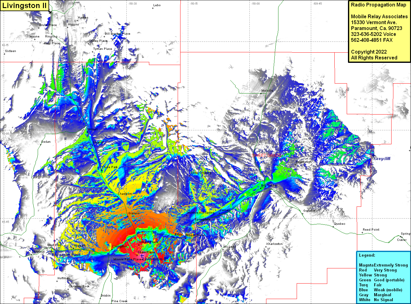
Site Coverage: Coverage of Urback Place, Elton, Woods Place, Springdale, Hunters Hot Spring, Camey, McLeod, Sioux Crossing, Big Timber, Sourdough, Melville, Dahl Place, Minnie Rahn Place, Bladewood, Shaw Place, Urback Place, Hoppers, Muir, West End, Grannis, Chadborn, Clyde Park, Shields, WIlsall, Bruce Place, Staley Place, Higgins, Ford Place
