Otis Mtn
| Site Name: | Otis Mtn |  Otis Mtn Coverage |
| Latitude: | 048 15 47.2N | 48.2631111 |
| Longitude: | 109 38 39.9W | -109.6444167 |
| Feet | Meters | |
| Ground Elevation: | 4805.0 | 1,464.6 |
| HAAT: | 584.1 | 178.0 |
| City: | Laredo | |
| County: | Hill | |
| State: | Montana |
This is not an MRA Owned Site. For space rental contact the site owner.
Do you own or manage this site? Click Here
Would you like to add a site to the Google Earth Map?? Click Here
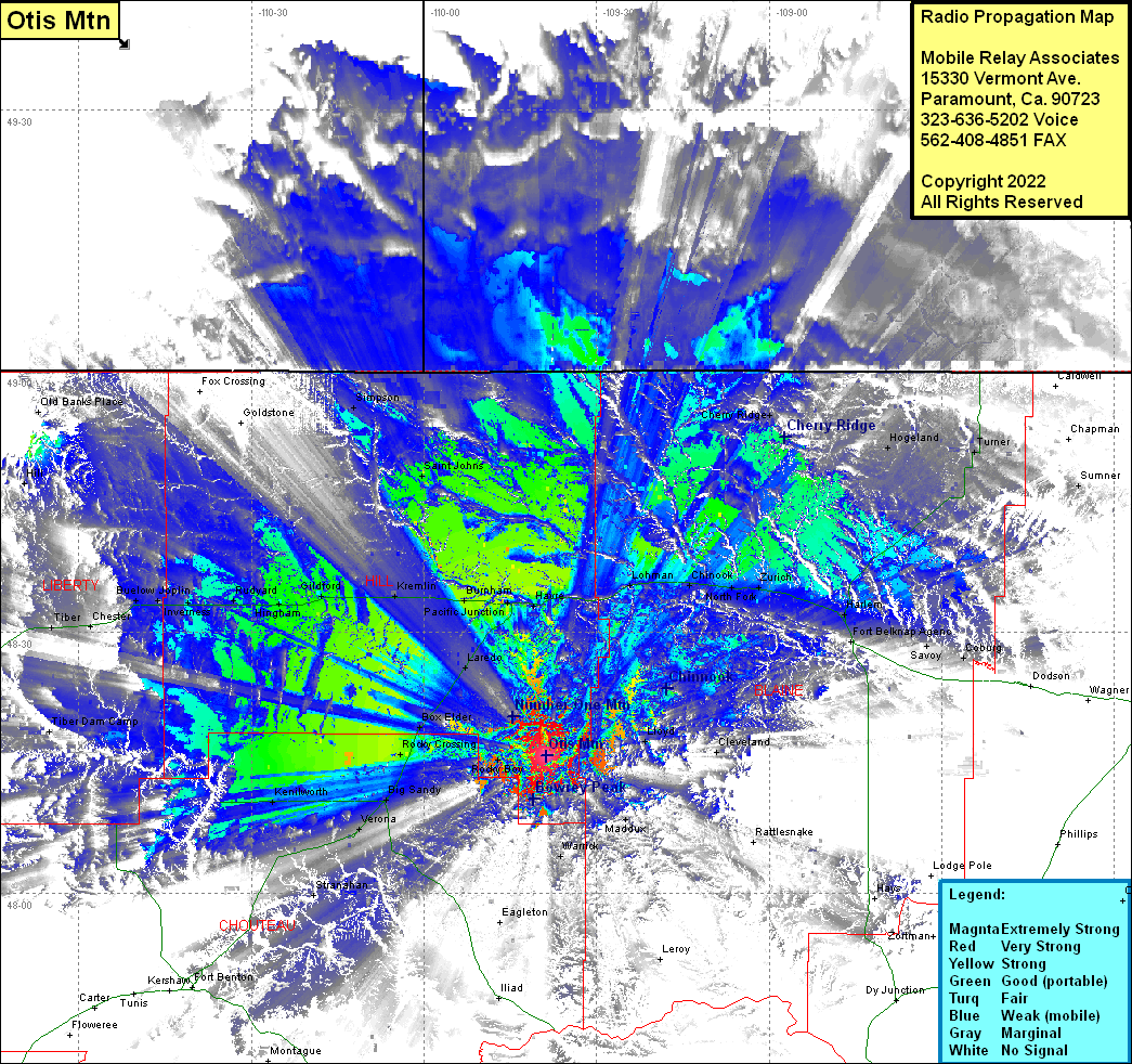
Site Coverage: Coverage of Shambo Springs, Lloyd, Cleveland, Lohman, Chinook, North Fork, Harlem, Fort Bellknap Agency, Savoy, Coburg, Cherry Ridge, Hogeland, Turner, Sumner, Maddux, Warrick, Leroy, Rocky Boy, Rocky Crossing, Big Sandy, Kenilworth, Verona, Coal Banks Landing, Stranahan, Lippard, Eagleton, Iliad, Havre, Pacific Junction, Laredo, Box Elder, Burnham, Fresno, Kremlin, Gildford, Hingham, Rudyard, Inverness, Iverness, Joplin, Buelow, Chester, Tiber, Lothair
