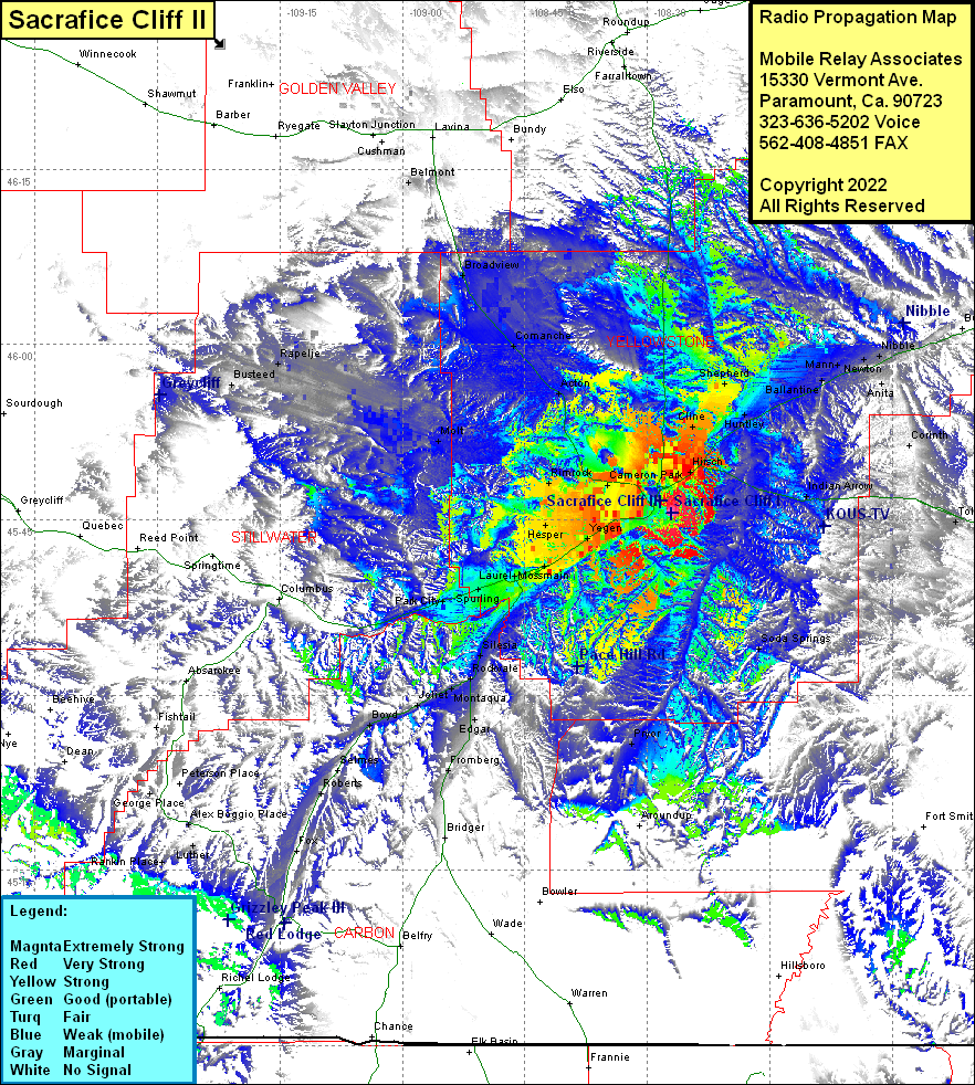
Sacrafice Cliff I
| Site Name: | Sacrafice Cliff I |  Sacrafice Cliff I Coverage |
| Latitude: | 045 45 35.4N | 45.7598333 |
| Longitude: | 108 27 02.9W | -108.4508056 |
| Feet | Meters | |
| Ground Elevation: | 3663.0 | 1,116.5 |
| HAAT: | 279.2 | 85.1 |
| City: | Billings | |
| County: | Yellowstone | |
| State: | Montana |
This is not an MRA Owned Site. For space rental contact the site owner.
Do you own or manage this site? Click Here
Would you like to add a site to the Google Earth Map?? Click Here
Site Coverage: Coverage of Hirsch, Cline, Huntley, Shepherd, Knox, Ballantine, Worden, Mann, Anita, Nibbe, Corinth, Indian Arrow, Toluca, Pompeys Pillar, Soda Springs, Yegen, Mossmain, Laurel, Spurling, Park City, Silesia, Rockvale, Montaqua, Edgar, Pryor, Fromberg, Bridger, Fox, Roberts, Selmes, Boyd, Joliet, Alex Boggio Place, Baseline, Rimrock, Cameron Park, Acton, Comanche, Broadview, Belmont, Gibbtown, Molt, Rapelje, Busteed
