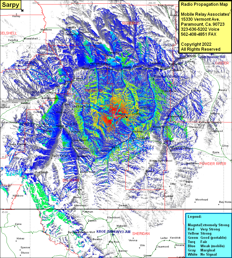
Sarpy
| Site Name: | Sarpy |  Sarpy Coverage |
| Latitude: | 045 50 21.1N | 45.8391944 |
| Longitude: | 106 54 18.1W | -106.9050278 |
| Feet | Meters | |
| Ground Elevation: | 4805.0 | 1,464.6 |
| HAAT: | 1,213.7 | 369.9 |
| City: | Colstrip | |
| County: | Rosebud | |
| State: | Montana |
This is not an MRA Owned Site. For space rental contact the site owner.
Do you own or manage this site? Click Here
Would you like to add a site to the Google Earth Map?? Click Here
Site Coverage: Coverage of Nichols, Cold Spring, Forsyth, Orinoco, Flynn, Cartersville, Rosebud, Joppa, Thurlow, Hathaway, Sheffield, Horton, Paragon, Crain Place, Brandenberg, Garland, Jimtown, Lama Deer, Wood Place, Brandenberg, Ashland, Willow Crossing, Bimey Day School, Bimey, Stacey, Cameron Crossing, Coalwood, Sayle, Busby, Kirby, Indian Arrow, Tuluca, Rowley, Dunmore, Crow Agency, Garryowen, Benteen, Saint Xavier, Fort Smith, Old Ford Place, Kingley, Foster, Corinth, Anita, Nibbe, Newton, Worden, Shepherd, Pompeys Pillar, Fee, Custer, Bighorn, Myers, Hysham, Sanders, Finch, Vananda, Ahles, Thebes, Ingomar, Galbraith, Sumatra
