Pennsylvania Hill
| Site Name: | Pennsylvania Hill |  Pennsylvania Hill Coverage |
| Latitude: | 041 44 07.9N | 41.7355278 |
| Longitude: | 116 03 46.7W | -116.0629722 |
| Feet | Meters | |
| Ground Elevation: | 9081.0 | 2767.9 |
| HAAT: | 2494.7 | 760.4 |
| City: | Pattsville | |
| County: | Elko | |
| State: | Nevada |
This is not an MRA Owned Site. For space rental contact the site owner.
Do you own or manage this site? Click Here
Would you like to add a site to the Google Earth Map?? Click Here
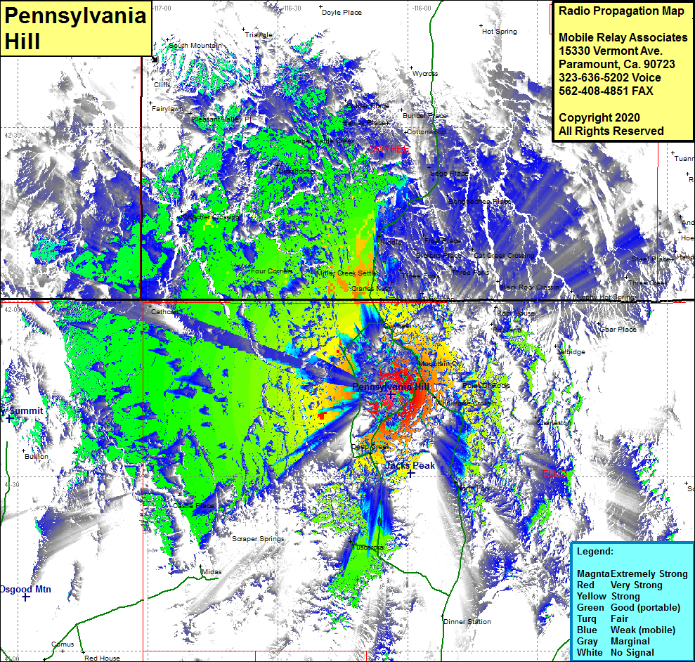
Site Coverage: Coverage of the northcentral to northwestern region of Humboldt County, Mountain City, Owyhee, Cranes Nest, Three Forks, Dew Drop, Riddle, Miller Creek, Four Corners, Crutcher Crossing, Dickens Place, Cat Creek Crossing Frost Place, Bengoechea Place, Sego Place, Cottonwood, Dickshooter, Pleasant Valley Place, Harvey Place, Cathcart, Deep Creek, Tuscarora, North Fork, Williams Cabin, Charleston, large portions of Nevada Highway 225
