Virginia Peak
| Site Name: | Virginia Peak |  Virginia Peak Coverage |
| Latitude: | 039 45 03.0N | 39.7508333 |
| Longitude: | 119 27 37.9W | -119.4605278 |
| Feet | Meters | |
| Ground Elevation: | 8035.0 | 2449.1 |
| HAAT: | 2574.5 | 784.7 |
| City: | Virginia Peak | |
| County: | Washoe | |
| State: | Nevada |
This is not an MRA Owned Site. For space rental contact the site owner.
Do you own or manage this site? Click Here
Would you like to add a site to the Google Earth Map?? Click Here
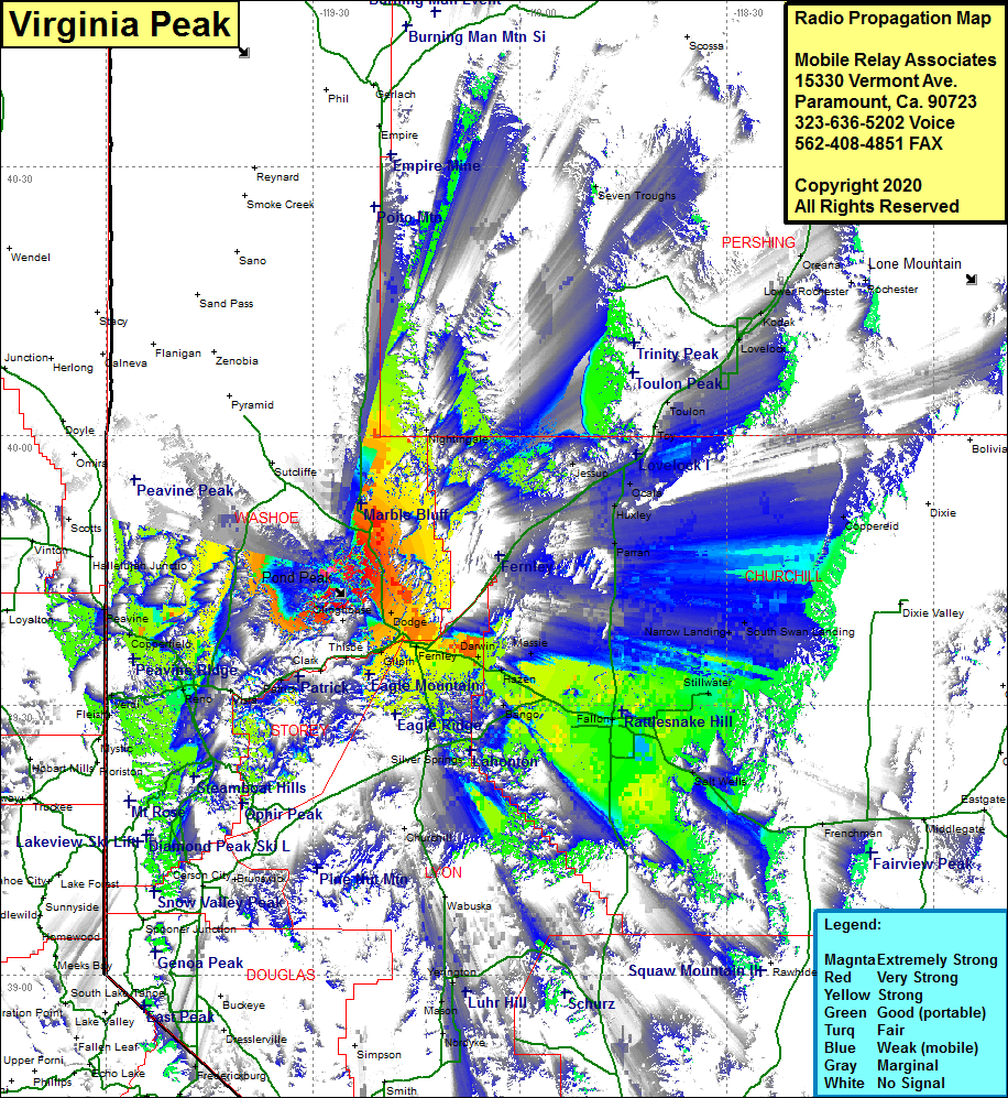
Site Coverage: Coverage of the southeastern portion of Washoe County, Nixon, Dodge, Wadsworth, Fernley, Argo, Darwin, Hazen, Massie, Bango, Silver Springs, Appian, Jessup, Fallon, Stillwater, Narrow Landing, Peers Landing, South Swan Landing, Frenchman, Parran, Huxley, Ocala, Miraim, Toy, Toulon, Granite Point, Perth, Lovelock, Kodak, Colado, Woolsey, Oreana, Arabia, Seven Troughs, Nevada Highway 447 heading north from Nixon to 6 miles south of Empire
