Mt Tecumseh
| Site Name: | Mt Tecumseh |  Mt Tecumseh Coverage |
| Latitude: | 043 57 31.3N | 43.9586944 |
| Longitude: | 071 33 20.4W | -71.5556667 |
| Feet | Meters | |
| Ground Elevation: | 3819.0 | 1164.0 |
| HAAT: | 1981.2 | 603.9 |
| City: | Waterville Valley | |
| County: | Grafton | |
| State: | New Hampshire |
This is not an MRA Owned Site. For space rental contact the site owner.
Do you own or manage this site? Click Here
Would you like to add a site to the Google Earth Map?? Click Here
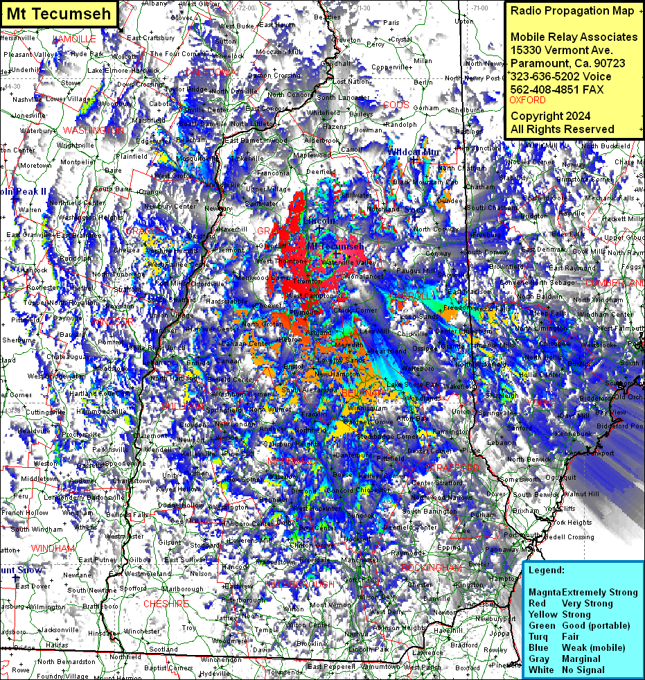
Site Coverage: Coverage of most of York (ME), Grafton, Stafford, Belknap & Carroll Counties, some of Cheshire, Hillsborough, Rockingham, Coos, Sullivan, Windham (VT), Bennington (VT), Rutland (VT), Windsor (VT), Orange (VT), Caledonia (VT), Washington (VT), Lamoille (VT), Orleans (VT), Essex (VT), Addison (VT), Oxford (ME), Cumberland (ME), Androscoggin (ME) & Franklin (ME) Counties
