Apache Springs
| Site Name: | Apache Springs |  Apache Springs Coverage |
| Latitude: | 035 19 22.0N | 35.3227778 |
| Longitude: | 105 09 22.0W | -105.1561111 |
| Feet | Meters | |
| Ground Elevation: | 5692.0 | 1734.9 |
| HAAT: | 13.1 | 4.0 |
| City: | Apache Springs | |
| County: | San Miguel | |
| State: | New Mexico |
This is not an MRA Owned Site. For space rental contact the site owner.
Do you own or manage this site? Click Here
Would you like to add a site to the Google Earth Map?? Click Here
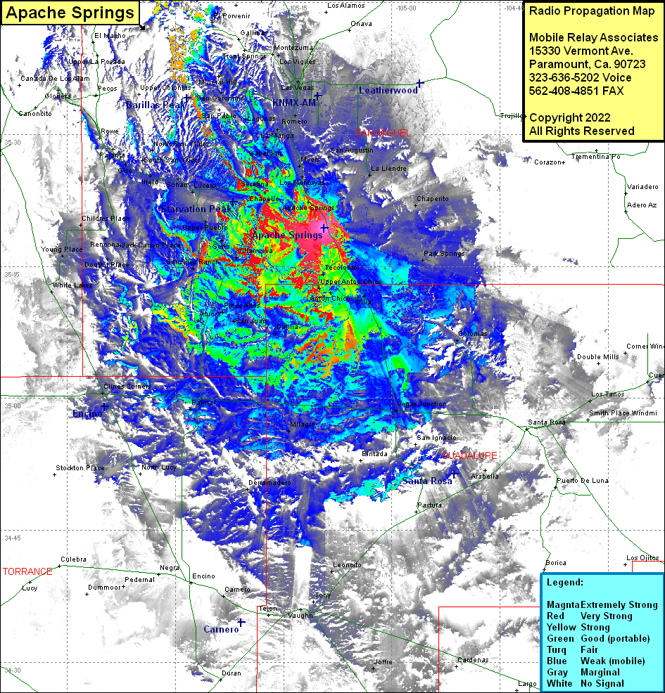
Site Coverage: Coverage of Chaperito, La Liendre, San Augustin, Park Springs, Arton Chico, Dillia, Llano Del Medio, Vegas Junction, Colonias, Cuervo, Los Tanos, Corner Windmill, Santa Rosa, Puerto De Luna, Arabella, Pastura, Leoncity, Joffre, Lower Pueblo, Sena, Lovato, Vallanueva, Gonzales Ranch, Pinos Altor, San Juan, Aurora, Dahlia, Palma, Milagro, North Lucy, Derramadero, Stockton Place, Clines Comers, White Lakes, Young Place, Douthit Place, Jack Canon Place, Rencona, Upper Pueblo, Corugo, Torrance, Ribera, El Ancon, San Jose, Blanchard, Berral, Serafina, Chapelle, Lagunita, Apache Springs, Los Montoyas, Myers, Tocolote, Gabaldon, Sheridan, Ojita, La Manga, Romeroville, Romero, Agua Zarca, Las Vegas City, Las Vegas, Arriba, San Antonio, Montezuma, Hot Springs, Gallinas, Lagunas, Ojitos Frios, Upper Colonias, Lower Colonias, North San Ysidro, South San Ysidro, Sands, Soham, Ilfeld, Gise, Pajarita, Glorieta
