Carlsbad I
| Site Name: | Carlsbad I |  Carlsbad I Coverage |
| Latitude: | 032 24 17.2N | 32.4047778 |
| Longitude: | 104 11 13.3W | -104.1870278 |
| Feet | Meters | |
| Ground Elevation: | 3083.0 | 939.7 |
| HAAT: | 101.8 | 31.0 |
| City: | Carlsbad | |
| County: | Eddy | |
| State: | New Mexico |
This is not an MRA Owned Site. For space rental contact the site owner.
Do you own or manage this site? Click Here
Would you like to add a site to the Google Earth Map?? Click Here
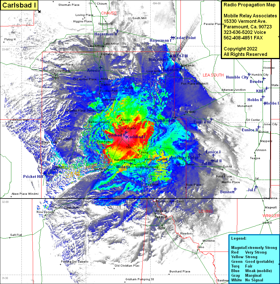
Site Coverage: Coverage of Loco Hills, Maljamar, Halfway, Pen Place Windmill, Eunice, Otis, Loving, Harroun Crossing, Lookout Crossing, Pierce Canyon Crossing, Red Bluff, Rose Place, Colton Place, Jal, Ochoa, Baird Place, Medin Place, Andrews Place, Red Bluff, Robinson Armes Land, Orla, Riverton, Anteles, Black River Villas, Whites City, Four Forks, San Jose, Four Wells, Three Forks, Queen, Pine Springs, Carlsbad, West Carlsbad, Avalon, Barber Crossing, Knowles Place, Seven Rivers, Lakewood, Frontier Post, Atoka, Dayton, Oil City, Artesia, Old Hormer Place, Cole Place, Hope, Hunter Place, Espuela, Lake Arthur, Mossman
