Orogrande II
| Site Name: | Orogrande II |  Orogrande II Coverage |
| Latitude: | 032 02 42.3N | 32.0450833 |
| Longitude: | 105 49 54.2W | -105.8317222 |
| Feet | Meters | |
| Ground Elevation: | 5372.0 | 1637.4 |
| HAAT: | 296.0 | 90.2 |
| City: | Orogrande | |
| County: | Otero | |
| State: | New Mexico |
This is not an MRA Owned Site. For space rental contact the site owner.
Do you own or manage this site? Click Here
Would you like to add a site to the Google Earth Map?? Click Here
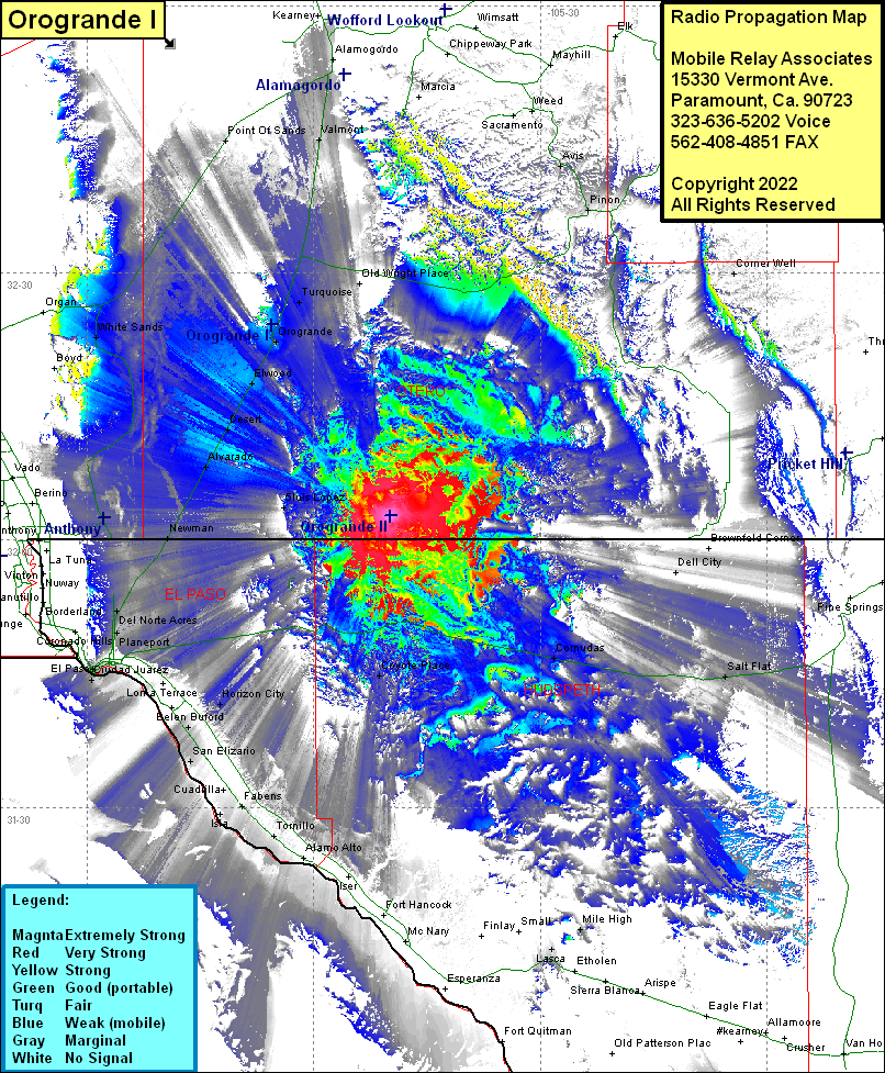
Site Coverage: Coverage of Pinon, Avis, Comer Well, Akers Place Windmill, Salt Flat, Comudas, Coyote Place, Horizon City, Cielo Vista, Aero Vista, Planeport, Sunrise Acres, Del Norte Acres, Newman, El Paso, Cuidad Juarez, Lakeside, Socorro, Buford, San Elizario, Cuadrilla, Fabens, Tomillo, Luis Lopez, Alvarado, Desert, Elwood, Orogrande, Turquoise, Old Wright Place, Valmont, Omlee, Alamogordo, Point of Sands, White Sands
