Marion Mountain
| Site Name: | Marion Mountain |  Marion Mountain Coverage |
| Latitude: | 033 48 10.1N | 33.8028056 |
| Longitude: | 116 41 30.8W | -116.6918889 |
| Feet | Meters | |
| Ground Elevation: | 9913.0 | 3021.5 |
| HAAT: | 5478.1 | 1669.7 |
| City: | Pinewood | |
| County: | Riverside | |
| State: | California |
This is not an MRA Owned Site. For space rental contact the site owner.
Do you own or manage this site? Click Here
Would you like to add a site to the Google Earth Map?? Click Here
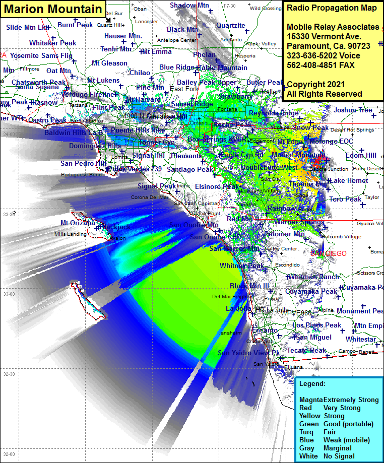
Site Coverage: Coverage of Willow Creek Crossing, Desert View, Pine Cove, Idyllwild, Mountain Center, Coahuila, Anza, Sage, Radec, Aguanga, Temecula, Murrieta Hot Springs, Murrieta, Wildomar, Lakeland Village, Sedco Hills, Elsinore, Terra Cotta, Aberhill, Quail Valley, Sun City, Romoland, Perris, Nuevo, Juniper Springs, Homeland, Egan, WInchester, Ramona Bowl, Hemet, Valle Vista, San Jacinto, Seboba Hot Springs, Lakeview, Eden Hot Springs, Hilda, Moreno, Sunnymead, El Casco, Calimesa, Cherry Valley, Cabazon, Mons, Yucaipa, Oak Glen, Mentone, Dunlap Acres, Ordway, Loma Linda, Marigold, Sunkist, East Highlands, Highland, San Bernardino, Del Rosa, Colton, Bloomington, Rana, Rialto, Muscoy, Verdemont, Devore, Keenbrook, Cedarpines Park, Grape, Kaiser, Fontana, Declezville, Sunnyslope, Mira Loma, Riverside, Casa Blanca, Arlington Station, Woodcrest, Alessandro, Glen Valley, Corona, Prado Dam, Los Serranos, Chino, Ontario, Upland, Narod, Sunsweet, Claremont, Pomona, San Dimas, Alta Loma, Cucamonga, Grapeland, San Antonio Heights
Amateur (ham) frequencies:
